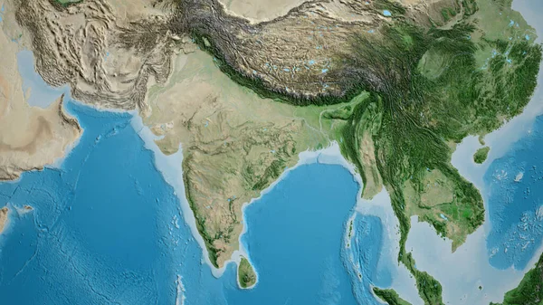
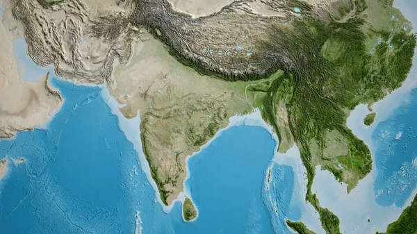
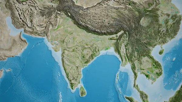
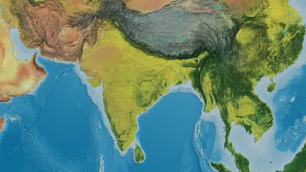
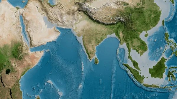
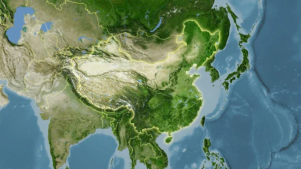
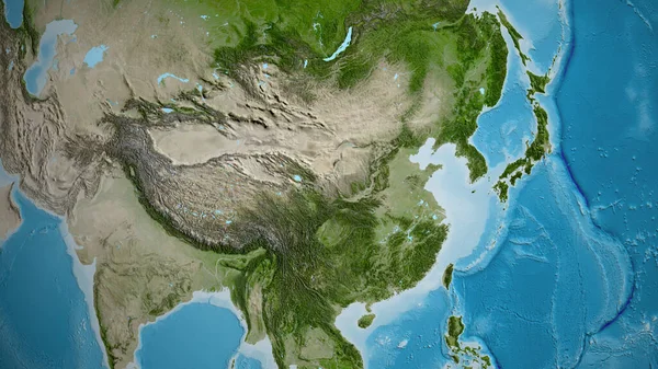
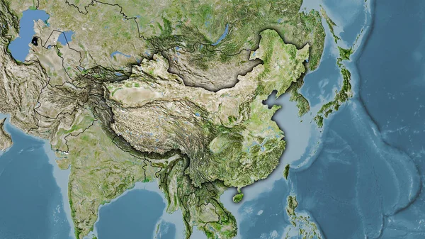
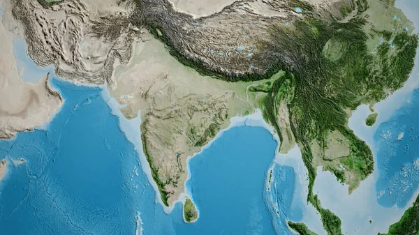
Stock image Close-up of asatellite map centered on India
Published: Jul.11, 2023 09:36:22
Author: zelwanka
Views: 3
Downloads: 0
File type: image / jpg
File size: 9.91 MB
Orginal size: 3840 x 2160 px
Available sizes:
Level: beginner