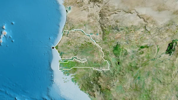
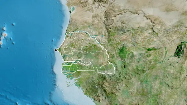
Stock image Close-up of asatellite map centered on Senegal

Published: Jul.13, 2023 14:37:41
Author: zelwanka
Views: 0
Downloads: 0
File type: image / jpg
File size: 6.63 MB
Orginal size: 3840 x 2160 px
Available sizes:
Level: beginner
Similar stock images

Bolivia Area On The Satellite A Map In The Stereographic Projection - Raw Composition Of Raster Layers
2880 × 1620

Bolivia Area On The Satellite D Map In The Stereographic Projection - Raw Composition Of Raster Layers
2880 × 1620
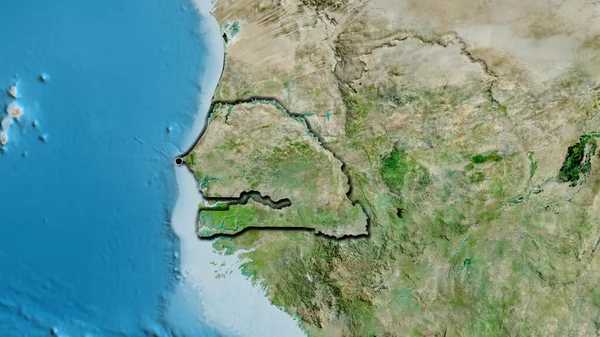
Close-up Of The Senegal Border Area On A Satellite Map. Capital Point. Bevelled Edges Of The Country Shape.
3840 × 2160