Home
Images
Vectors
Videos
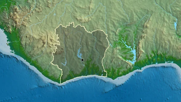
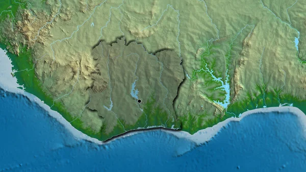
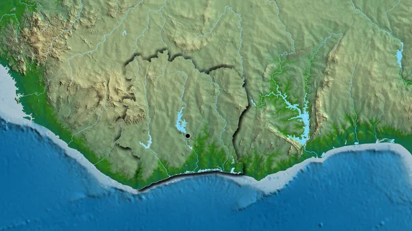
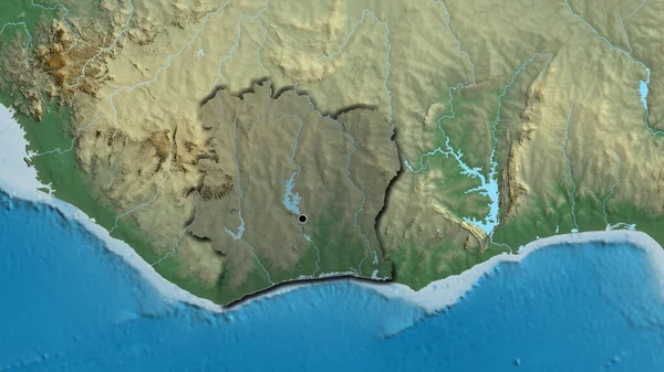
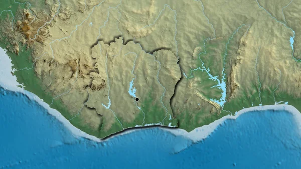
Stock image Close-up of the Ivory Coast border area highlighting with a dark overlay on a physical map. Capital point. Bevelled edges of the country shape.
Published:
Jul.18, 2023 12:54:43
Author:
zelwanka
Views:
0
Downloads:
0
File type:
image
/
jpg
File size:
5.7 MB
Orginal size:
3840
x
2160
px
Available sizes:
S
(500 x 281)
M
(1000 x 563)
L
(2000 x 1125)
XL
(3840 x 2160)
EL0
(3840 x 2160)
Level:
beginner
Download Image
Image topics:
Sphere
Background
View
Shape
Travel
Nature
Environment
Sea
Border
Global
Physical
Shadow
Earth
Planet
World
Ocean
Science
Capital
Globe
Elevation
Country
Map
Cartography
Geography
Africa
Continent
Land
Zoom
Edges
Administrative
Region
Territory
Bevel
Atlas
Ghana
Overlay
GUINEA
Mali
Liberia
Yamoussoukro
Burkina Faso
Ivory Coast
Civ
Similar stock images
Close-up Of The Ivory Coast Border Area On A Physical Map. Capital Point. Bevelled Edges Of The Country Shape.
3840 × 2160
Close-up Of The Ivory Coast Border Area Highlighting With A Dark Overlay On A Relief Map. Capital Point. Bevelled Edges Of The Country Shape.
3840 × 2160
Close-up Of The Ivory Coast Border Area On A Relief Map. Capital Point. Bevelled Edges Of The Country Shape.
3840 × 2160
Close-up Of The Ivory Coast Border Area Highlighting With A Dark Overlay On A Physical Map. Capital Point. Outline Around The Country Shape.
3840 × 2160
Close-up Of The Liberia Border Area Highlighting With A Dark Overlay On A Relief Map. Capital Point. Bevelled Edges Of The Country Shape.
3840 × 2160
Close-up Of The Liberia Border Area On A Relief Map. Capital Point. Bevelled Edges Of The Country Shape.
3840 × 2160
Close-up Of The Liberia Border Area And Its Regional Borders On A Relief Map. Capital Point. Outline Around The Country Shape.
3840 × 2160
Close-up Of The Liberia Border Area On A Relief Map. Capital Point. Outline Around The Country Shape.
3840 × 2160