Home
Images
Vectors
Videos
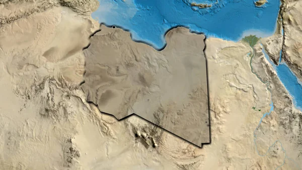
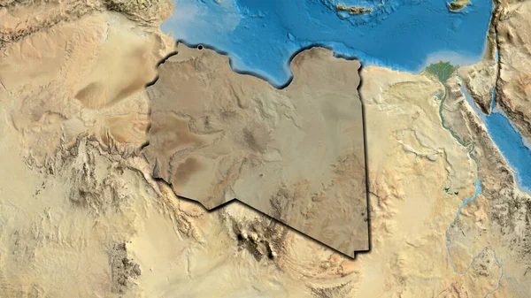
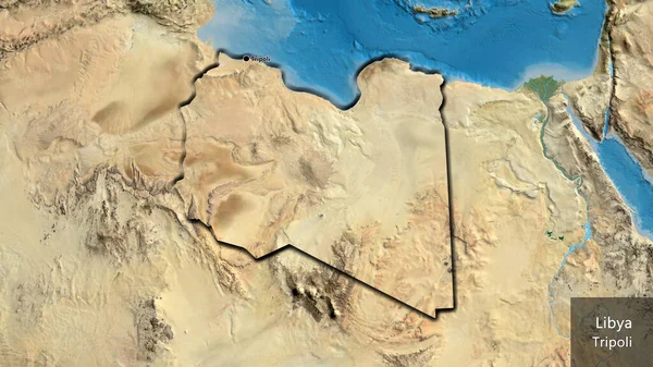
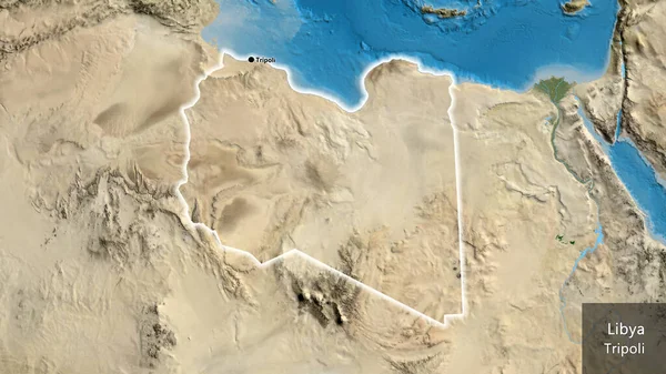
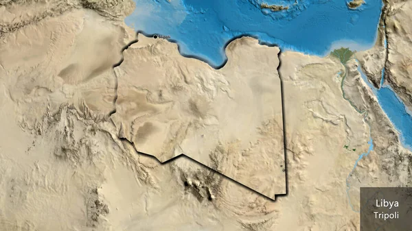
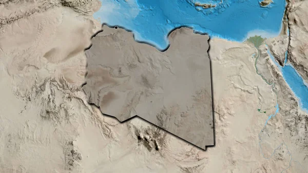
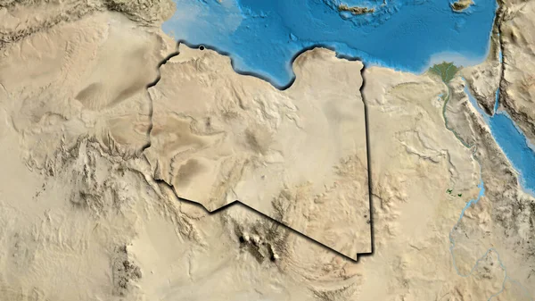
Stock image Close-up of the Libya border area on a satellite map. Capital point. Bevelled edges of the country shape.
Published:
Jul.18, 2023 12:26:01
Author:
zelwanka
Views:
0
Downloads:
0
File type:
image
/
jpg
File size:
6.87 MB
Orginal size:
3840
x
2160
px
Available sizes:
S
(500 x 281)
M
(1000 x 563)
L
(2000 x 1125)
XL
(3840 x 2160)
EL0
(3840 x 2160)
Level:
beginner
Download Image
Image topics:
Sphere
Background
View
Shape
Travel
Nature
Environment
Sea
Border
Global
Shadow
Earth
Planet
World
Ocean
Science
Capital
Globe
Elevation
Country
Map
Cartography
Geography
Africa
Algeria
Continent
Egypt
Land
Zoom
Edges
Administrative
Satellite
Region
Territory
Bevel
Atlas
Highlighted
Tunisia
Libya
Niger
Chad
Sudan
Tripoli
Lby
Similar stock images
Close-up Of The Libya Border Area Highlighting With A Dark Overlay On A Satellite Map. Capital Point. Bevelled Edges Of The Country Shape.
3840 × 2160
Close-up Of The Libya Border Area Highlighting With A Dark Overlay On A Satellite Map. Capital Point. Bevelled Edges Of The Country Shape.
3840 × 2160
Close-up Of The Libya Border Area On A Satellite Map. Capital Point. Bevelled Edges Of The Country Shape. English Name Of The Country And Its Capital
3840 × 2160
Close-up Of The Libya Border Area On A Satellite Map. Capital Point. Glow Around The Country Shape. English Name Of The Country And Its Capital
3840 × 2160
Close-up Of The Libya Border Area On A Satellite Map. Capital Point. Bevelled Edges Of The Country Shape. English Name Of The Country And Its Capital
3840 × 2160
Close-up Of The Libya Border Area Highlighting With A Dark Overlay On A Satellite Map. Capital Point. Bevelled Edges Of The Country Shape.
3840 × 2160
Close-up Of The Egypt Border Area Highlighting With A Dark Overlay On A Satellite Map. Capital Point. Outline Around The Country Shape.
3840 × 2160
Close-up Of The Libya Border Area And Its Regional Borders On A Satellite Map. Capital Point. Outline Around The Country Shape.
3840 × 2160