Home
Images
Vectors
Videos
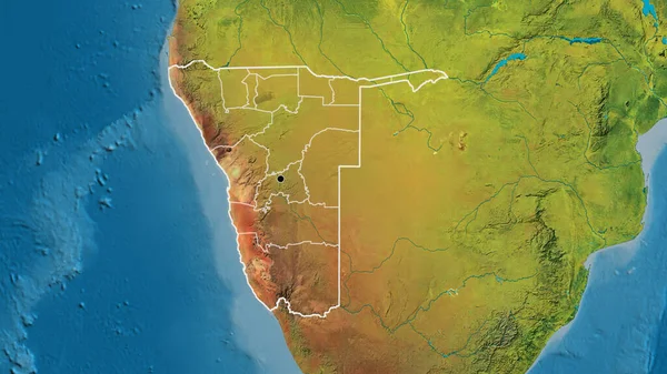
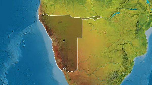
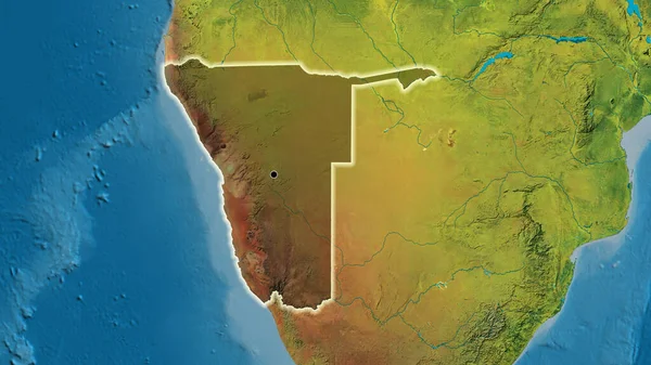
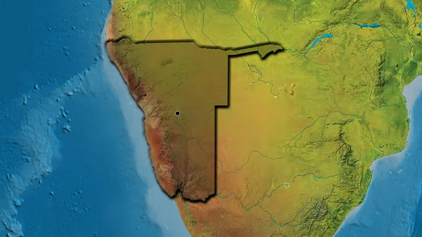
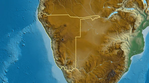
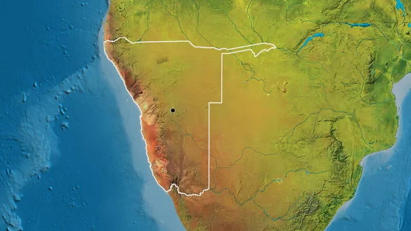
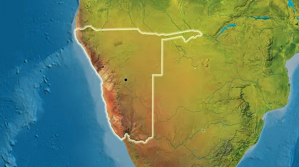
Stock image Close-up of the Namibia border area on a topographic map. Capital point. Outline around the country shape.
Published:
Jul.18, 2023 12:34:55
Author:
zelwanka
Views:
1
Downloads:
0
File type:
image
/
jpg
File size:
6.56 MB
Orginal size:
3840
x
2160
px
Available sizes:
S
(500 x 281)
M
(1000 x 563)
L
(2000 x 1125)
XL
(3840 x 2160)
EL0
(3840 x 2160)
Level:
beginner
Download Image
Image topics:
Sphere
Background
View
Shape
Travel
Nature
Environment
Sea
Border
Global
Earth
Planet
World
Ocean
Science
Capital
Globe
Elevation
Outline
Country
Map
Cartography
Geography
Africa
Continent
Land
Zoom
Edges
Administrative
Stroke
Region
Nam
Territory
Atlas
Highlighted
Namibia
Topographic
Botswana
Angola
Zambia
Windhoek
South Africa
Similar stock images
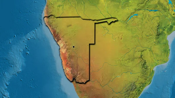
Close-up Of The Namibia Border Area On A Topographic Map. Capital Point. Glow Around The Country Shape.
3840 × 2160
Close-up Of The Namibia Border Area And Its Regional Borders On A Topographic Map. Capital Point. Outline Around The Country Shape.
3840 × 2160
Close-up Of The Namibia Border Area Highlighting With A Dark Overlay On A Topographic Map. Capital Point. Outline Around The Country Shape.
3840 × 2160
Close-up Of The Namibia Border Area Highlighting With A Dark Overlay On A Topographic Map. Capital Point. Glow Around The Country Shape.
3840 × 2160
Close-up Of The Namibia Border Area On A Topographic Map. Capital Point. Bevelled Edges Of The Country Shape.
3840 × 2160
Close-up Of The Namibia Border Area Highlighting With A Dark Overlay On A Topographic Map. Capital Point. Bevelled Edges Of The Country Shape.
3840 × 2160
Close-up Of The Namibia Border Area On A Relief Map. Capital Point. Outline Around The Country Shape.
3840 × 2160
Close-up Of The Botswana Border Area On A Topographic Map. Capital Point. Glow Around The Country Shape.
3840 × 2160