Home
Images
Vectors
Videos
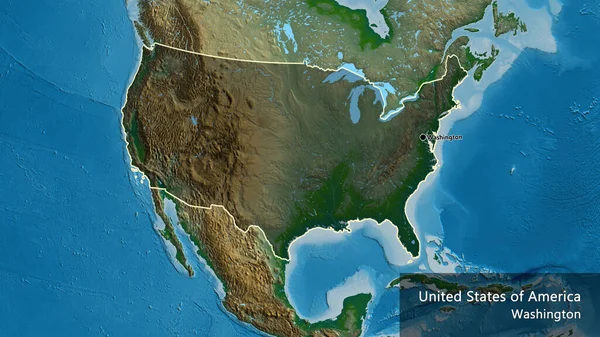
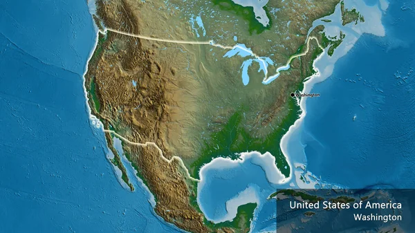
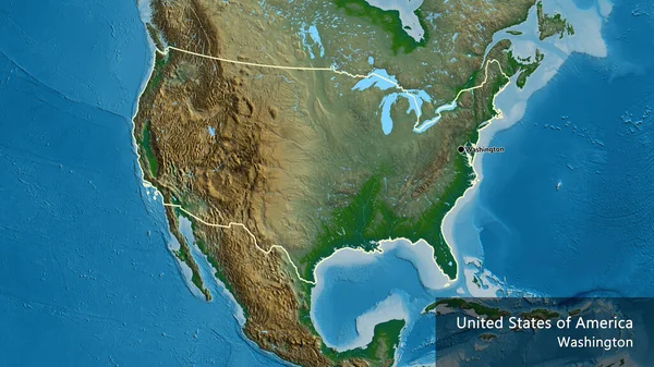
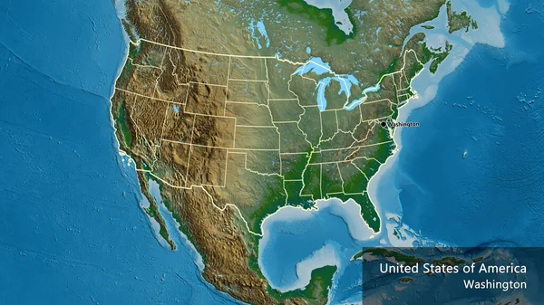
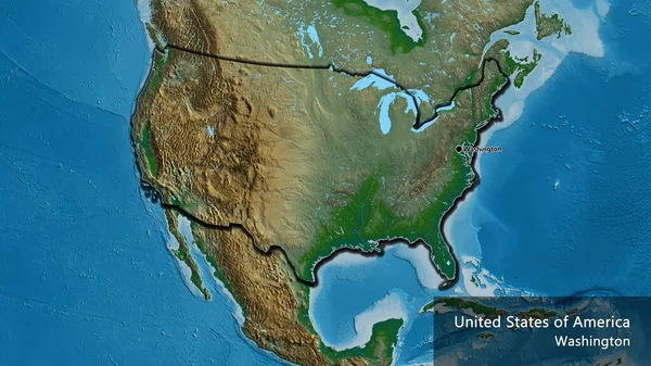
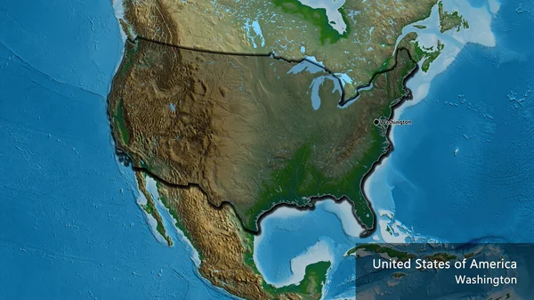
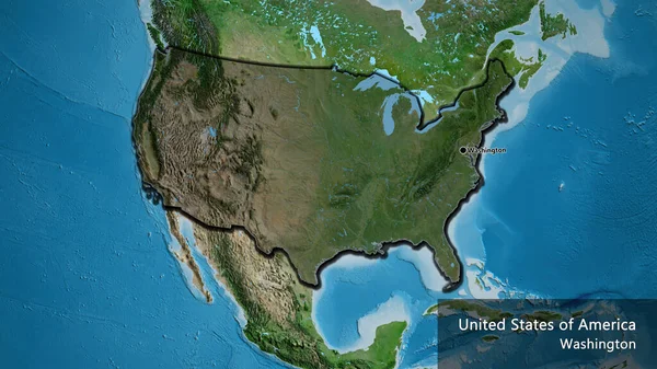
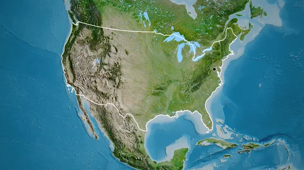
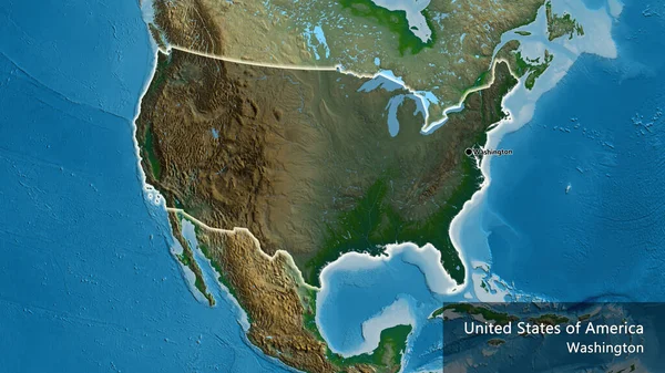
Stock image Close-up of the United States of America border area highlighting with a dark overlay on a physical map. Capital point. Glow around the country shape. English name of the country and its capital
Published:
Jul.18, 2023 12:44:11
Author:
zelwanka
Views:
1
Downloads:
0
File type:
image
/
jpg
File size:
9.26 MB
Orginal size:
3840
x
2160
px
Available sizes:
S
(500 x 281)
M
(1000 x 563)
L
(2000 x 1125)
XL
(3840 x 2160)
EL0
(3840 x 2160)
Level:
beginner
Download Image
Image topics:
Sphere
Background
View
Shape
Travel
Nature
Environment
Sea
Border
Global
Physical
Glow
Earth
Planet
World
Usa
Ocean
Science
Capital
Globe
Elevation
Country
Map
Cartography
Geography
Continent
Land
Zoom
Edges
Administrative
Canada
Washington
Region
Territory
Mexico
Atlas
Cuba
Overlay
North America
United States Of America
Similar stock images
Close-up Of The United States Of America Border Area Highlighting With A Dark Overlay On A Physical Map. Capital Point. Outline Around The Country Shape. English Name Of The Country And Its Capital
3840 × 2160
Close-up Of The United States Of America Border Area On A Physical Map. Capital Point. Glow Around The Country Shape. English Name Of The Country And Its Capital
3840 × 2160
Close-up Of The United States Of America Border Area On A Physical Map. Capital Point. Outline Around The Country Shape. English Name Of The Country And Its Capital
3840 × 2160
Close-up Of The United States Of America Border Area And Its Regional Borders On A Physical Map. Capital Point. Outline Around The Country Shape. English Name Of The Country And Its Capital
3840 × 2160
Close-up Of The United States Of America Border Area On A Physical Map. Capital Point. Bevelled Edges Of The Country Shape. English Name Of The Country And Its Capital
3840 × 2160
Close-up Of The United States Of America Border Area Highlighting With A Dark Overlay On A Physical Map. Capital Point. Bevelled Edges Of The Country Shape. English Name Of The Country And Its Capital
3840 × 2160
Close-up Of The United States Of America Border Area Highlighting With A Dark Overlay On A Satellite Map. Capital Point. Bevelled Edges Of The Country Shape. English Name Of The Country And Its Capital
3840 × 2160
Close-up Of The United States Of America Border Area On A Satellite Map. Capital Point. Outline Around The Country Shape.
3840 × 2160