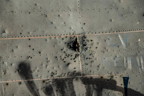
Stock image Close up photo of bullet marks on the Abandoned DC Plane's fuselage on Solheimasandur, Iceland

Published: Jan.08, 2019 14:04:10
Author: Gresser
Views: 4
Downloads: 0
File type: image / jpg
File size: 16.51 MB
Orginal size: 6000 x 4000 px
Available sizes:
Level: beginner
Similar stock images
Close Up Photo Of Bullet Marks On The Abandoned DC Plane's Fuselage On Solheimasandur, Iceland
6000 × 4000

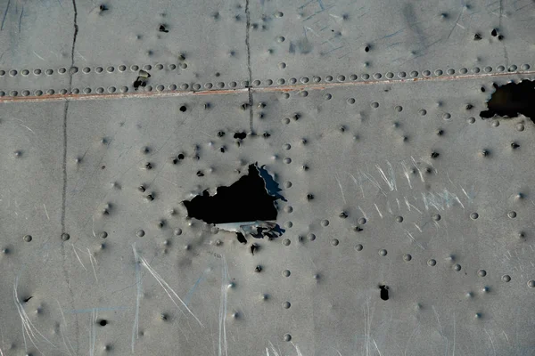
Close Up Photo Of Bullet Marks On The Abandoned DC Plane's Fuselage On Solheimasandur, Iceland
6000 × 4000