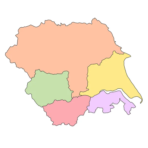
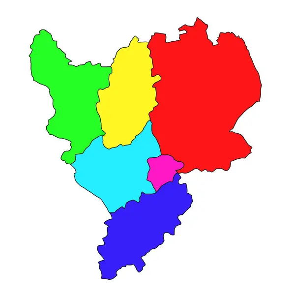
Stock image color map of gangwon, administrative map of the South Korean province of Gangwon-do

Published: Jul.18, 2024 14:14:07
Author: akhtaransari
Views: 0
Downloads: 0
File type: image / jpg
File size: 5.93 MB
Orginal size: 8000 x 8000 px
Available sizes:
Level: beginner