photo free
Home Images Vectors Videos

Stock image Country Political Geographical Map of Cape Verde with Municipalities with Shadows

Stock image Country Political Geographical Map of Cape Verde with Municipalities with Shadows
Published: May.13, 2022 11:47:47
Author: AhmedZaggoudi
Views: 5
Downloads: 1
File type: image / jpg
File size: 0.52 MB
Orginal size: 3500 x 2000 px
Available sizes:
S
(500 x 286)
M
(1000 x 571)
L
(2000 x 1143)
XL
(3500 x 2000)
EL0
(3500 x 2000)
Level: beginner
Download Image
Image topics:

Similar stock images

stock image Country Political Geographical Map of Vanuatu with Provinces with Shadows

Country Political Geographical Map Of Vanuatu With Provinces With Shadows

3500 × 2000
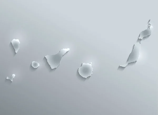
stock image Canary Islands map glass card paper 3D raster - El Hierro,Fuerteventura,Gran Canaria,La Gomera,La Palma,Lanzarote,Tenerife,

Canary Islands Map Glass Card Paper 3D Raster - El Hierro,Fuerteventura,Gran Canaria,La Gomera,La Palma,Lanzarote,Tenerife,

4389 × 3204
stock image Samoa map glass card paper 3D raster

Samoa Map Glass Card Paper 3D Raster

4044 × 4022
stock image Cape Verde islands map card paper 3D natural raster

Cape Verde Islands Map Card Paper 3D Natural Raster

4044 × 3979
stock image Country Political Geographical Map of Solomon Islands with Provinces with Shadows

Country Political Geographical Map Of Solomon Islands With Provinces With Shadows

3500 × 2000
stock image South Korea glass card paper 3D raster

South Korea Glass Card Paper 3D Raster

4000 × 3978
stock vector Silver Balls - Modern Style Minimalist Black and White Abstract Background Design Template with Copyspace in Editable Vector Format

Silver Balls - Modern Style Minimalist Black And White Abstract Background Design Template With Copyspace In Editable Vector Format

10000 × 5000
stock image Blue papers

Blue Papers

2592 × 2592