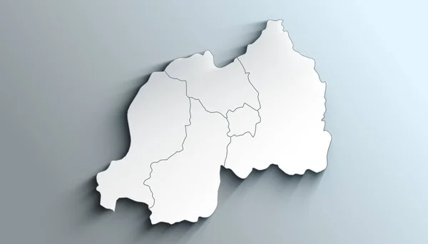
Stock image Country Political Geographical Map of Rwanda with Provinces with Shadows
Published: May.13, 2022 11:47:47
Author: AhmedZaggoudi
Views: 3
Downloads: 1
File type: image / jpg
File size: 0.62 MB
Orginal size: 3500 x 2000 px
Available sizes:
Level: beginner