photo free
Home Images Vectors Videos

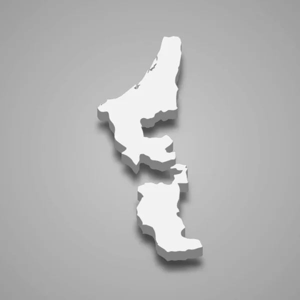
Stock image Country Political Geographical Map of Trinidad and Tobago with Regions with Shadows

Stock image Country Political Geographical Map of Trinidad and Tobago with Regions with Shadows
Published: Jun.29, 2022 08:01:02
Author: AhmedZaggoudi
Views: 2
Downloads: 0
File type: image / jpg
File size: 0.57 MB
Orginal size: 3500 x 2000 px
Available sizes:
S
(500 x 286)
M
(1000 x 571)
L
(2000 x 1143)
XL
(3500 x 2000)
EL0
(3500 x 2000)
Level: beginner
Download Image
Image topics:

Similar stock images

stock image New Zealand map glass card paper 3D raster

New Zealand Map Glass Card Paper 3D Raster

4044 × 4022
stock image Samoa map, administrative division with names, white blue card paper 3D blank

Samoa Map, Administrative Division With Names, White Blue Card Paper 3D Blank

5109 × 3500
stock image Country Political Geographical Map of Ecuador with Provinces with Shadows

Country Political Geographical Map Of Ecuador With Provinces With Shadows

3500 × 2000
stock image Samoa island map, administrative division, separates regions, card paper 3D natural, blank

Samoa Island Map, Administrative Division, Separates Regions, Card Paper 3D Natural, Blank

5410 × 3500
stock image East Timor 3d Golden Map

East Timor 3d Golden Map

2714 × 2218
stock vector 3d isometric map of North Sulawesi is a province of Indonesia, vector illustration

3d Isometric Map Of North Sulawesi Is A Province Of Indonesia, Vector Illustration

4000 × 4000
stock image Malta map, administrative division, white blue card paper 3D blank

Malta Map, Administrative Division, White Blue Card Paper 3D Blank

4821 × 4000
stock vector 3d isometric map of Ras Al Khaimah is a Emirate of United Arab Emirates, vector illustration

3d Isometric Map Of Ras Al Khaimah Is A Emirate Of United Arab Emirates, Vector Illustration

4000 × 4000