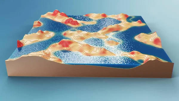
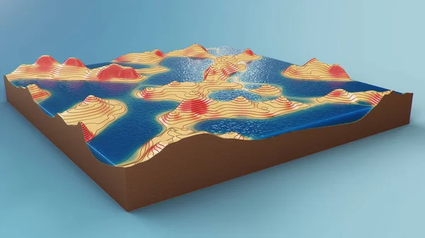
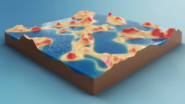
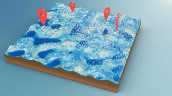
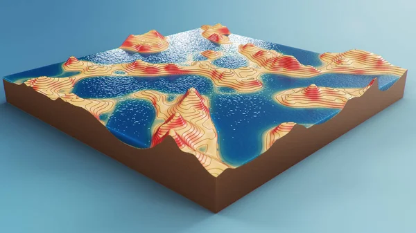
Stock image Cross section topographic 3D map with water. Contour lines on a topographic map. Studying the geography of the area: hills, mountains and plains. Cartography map on blue background. 3d illustration
Published: Apr.14, 2020 11:06:17
Author: Rost9
Views: 8
Downloads: 2
File type: image / jpg
File size: 10.86 MB
Orginal size: 8000 x 4500 px
Available sizes:
Level: silver