Home
Images
Vectors
Videos
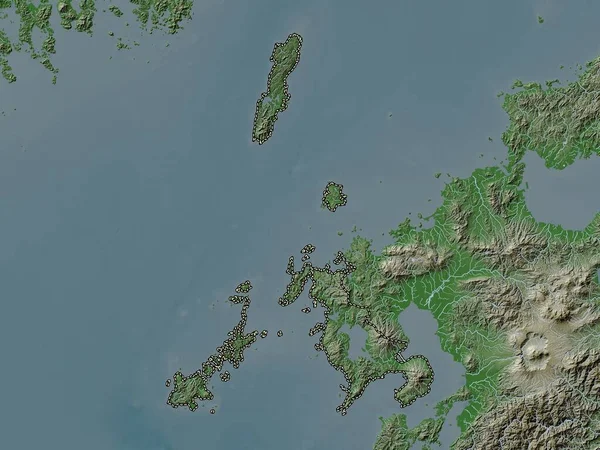
Stock image Culion Island in the Sulu Sea on a colored elevation map
Published:
Sep.11, 2024 14:57:25
Author:
zelwanka
Views:
0
Downloads:
0
File type:
image
/
jpg
File size:
1.77 MB
Orginal size:
2880
x
1620
px
Available sizes:
S
(500 x 281)
M
(1000 x 563)
L
(2000 x 1125)
XL
(2880 x 1620)
EL0
(2880 x 1620)
Level:
beginner
Download Image
Image topics:
Colored
Shape
Nature
Border
Physical
Contour
Earth
Planet
World
Ocean
Science
Elevation
Outline
Country
Map
Geography
Continent
Land
Zoom
Asia
Island
Region
Territory
Atlas
Philippines
Luzon
Stereographic
Phl
Sulu Sea
Calamian Group Of Islands
Culion Island
Similar stock images
Fukuoka, Prefecture Of Japan. Satellite Imagery. Shape Outlined Against Its Country Area. 3D Rendering
2880 × 1620
Zoom In On Krabi (province Of Thailand) Outlined. Oblique Perspective. Topographic Relief Map With Surface Waters. 3D Rendering
3840 × 2160
Istarska, County Of Croatia. Colored Elevation Map With Lakes And Rivers
3840 × 2880
Nagasaki, Prefecture Of Japan. Elevation Map Colored In Wiki Style With Lakes And Rivers
3840 × 2880
South Korea Area On The Satellite D Map In The Stereographic Projection - Raw Composition Of Raster Layers
2880 × 1620
Jiangsu, Province Of China. Colored Relief With Lakes And Rivers. Shape Outlined Against Its Country Area. 3D Rendering
2880 × 1620
Corse, Region Of France. Colored Shader Data With Lakes And Rivers. Shape Outlined Against Its Country Area. 3D Rendering
2880 × 1620
Zoom In On Phuket (province Of Thailand) Outlined. Oblique Perspective. Satellite Imagery. 3D Rendering
3840 × 2160