Home
Images
Vectors
Videos
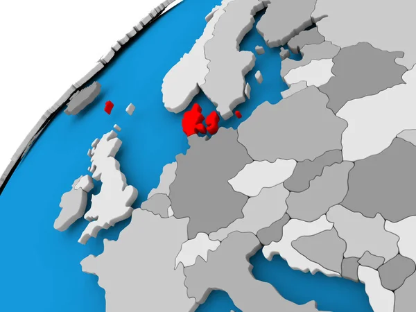
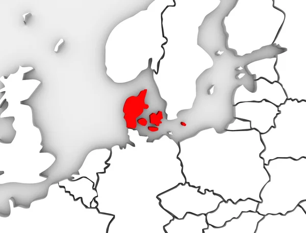
Stock image Denmark Illustrated Abstract 3D Map Northern Europe
Published:
May.13, 2013 13:14:45
Author:
iqoncept
Views:
854
Downloads:
1
File type:
image
/
jpg
File size:
2.08 MB
Orginal size:
4200
x
3200
px
Available sizes:
S
(500 x 381)
M
(1000 x 762)
L
(2000 x 1524)
XL
(4200 x 3200)
EL0
(4200 x 3200)
Level:
gold
Download Image
Image topics:
Red
White
Background
Graphic
Close Up
Illustration
Abstract
European
3d
Icon
Stylized
With
Scandinavia
North
Northern
Europe
In
Illustrated
Clipart
Clip Art
Country
Map
National
Continent
Target
Nordic
State
Countries
Of
Socialist
Denmark
Copenhagen
Region
The
Central
Federal
And
Atlas
Scandinavian
Monarchy
Danish
Highlighted
An
Nation
Democratic
Regional
Targeted
Scandanavian
Similar stock images
Map Of Denmark In Red
5000 × 3750
Map Of Latvia
5000 × 3750
Map With Location
8000 × 4000
Denmark On Blue Political Globe. 3D Illustration.
5000 × 3750
Latvia On 3D Globe. 3D Illustration.
5000 × 3750
Map With Location
8000 × 4000
Map Of Latvia
5000 × 3750
Netherlands On 3D Map
5000 × 3750