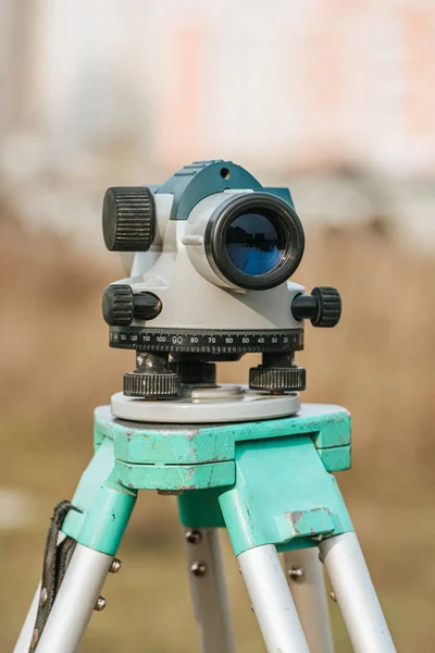
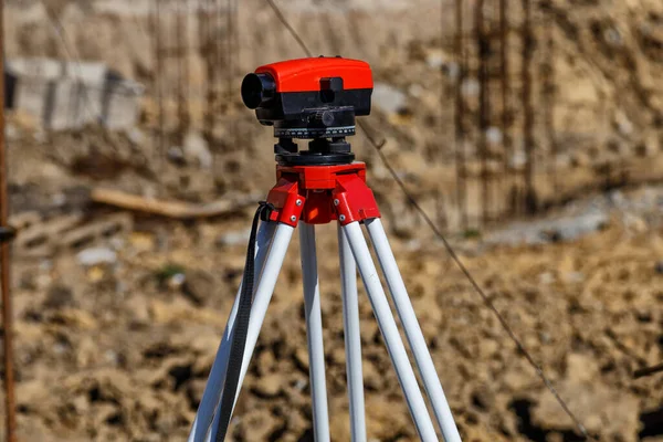
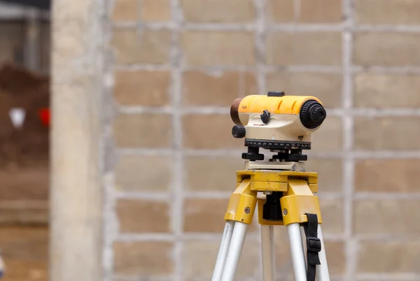
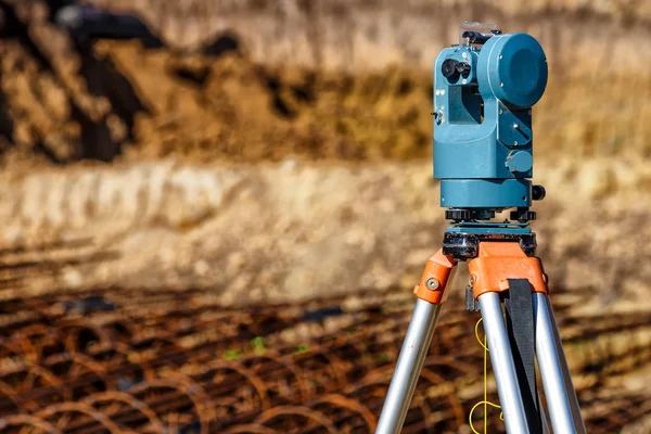
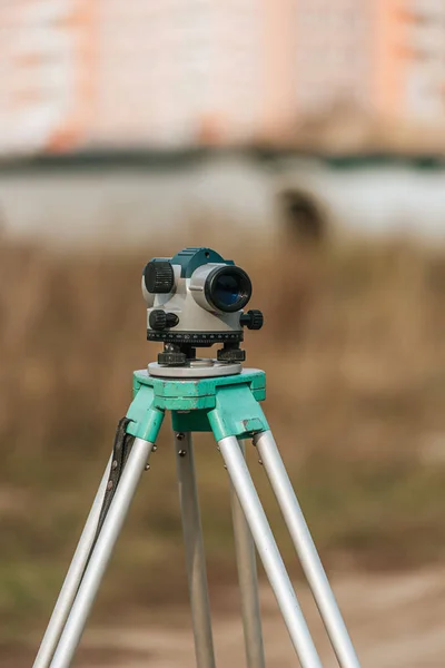
Stock image Digital level for geodesy measuring on tripod
Published: Nov.28, 2019 17:56:27
Author: AndrewLozovyi
Views: 9
Downloads: 0
File type: image / jpg
File size: 7.8 MB
Orginal size: 4912 x 7360 px
Available sizes:
Level: platinum