Home
Images
Vectors
Videos
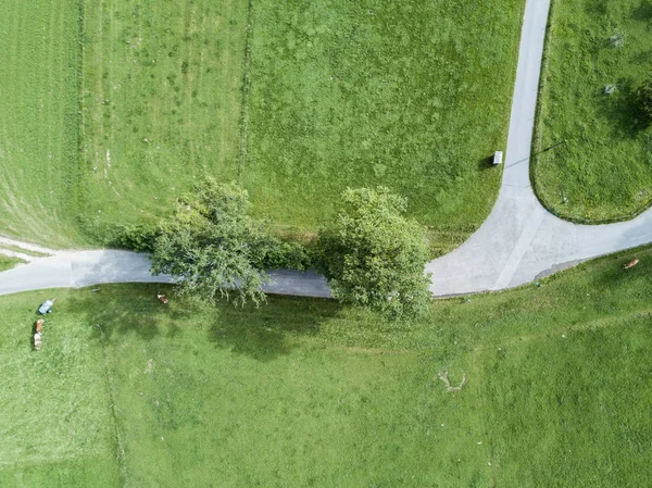
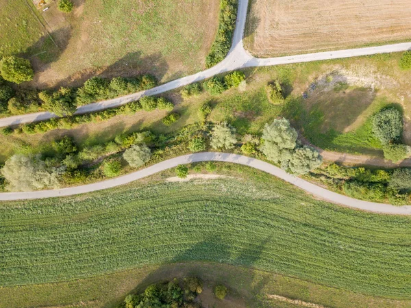
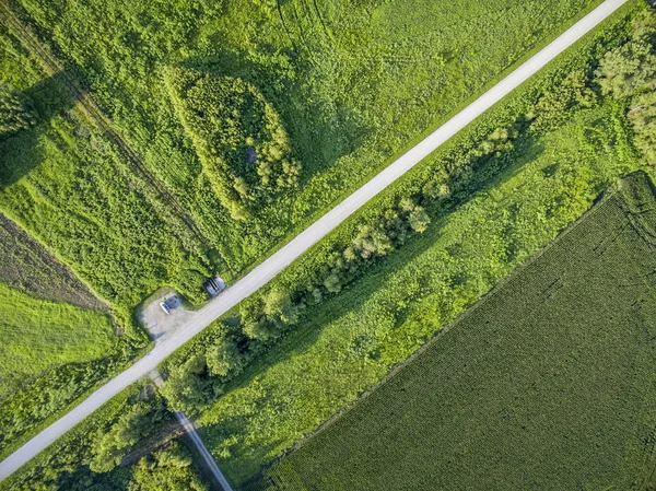
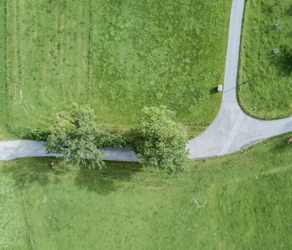
Stock image drone aerial view from the top of the village.
Published:
Mar.02, 2022 15:20:56
Author:
Wirestock
Views:
1
Downloads:
0
File type:
image
/
jpg
File size:
9.87 MB
Orginal size:
3200
x
4000
px
Available sizes:
S
(400 x 500)
M
(800 x 1000)
L
(1600 x 2000)
XL
(3200 x 4000)
EL0
(3200 x 4000)
Level:
platinum
Download Image
Image topics:
Green
Background
View
Sky
Beautiful
Travel
Summer
Grass
Meadow
Field
Nature
Spring
Outdoor
Environment
Rural
Tree
Road
Landscape
Farm
Agriculture
Forest
Countryside
Scenic
Top
Country
Farmland
Land
Fields
Above
Aerial
Similar stock images
Aerial View Of Road Through Rural Area. Grass Fields Beside Asphalt Road. Concept Of Road Trip Through Countryside.
3652 × 2737
Aerial View Of Road Trough Rural Landscape With Bushes
3689 × 2765
Aerial View Of Road Trough Rural Landscape With Bushes
3689 × 2765
Aerial View Of A Gravel Road And Green Fields Near Mississippi And Missouri Rivers Confluence At Columbia Bottom Conservation Area
3200 × 2398
Aerial Autumn View Of Nishava River Gorge, Balkan Mountains, Bulgaria
4000 × 3000
Aerial View Of Road In Green Fields
3415 × 2927
Drone Image. Asphalt Road Surrounded By Pine Forest And Fields From Above In Latvia
3992 × 2992
Drone Top Photography Of Rural Dirt Roads.
4915 × 2762