Home
Images
Vectors
Videos
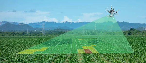
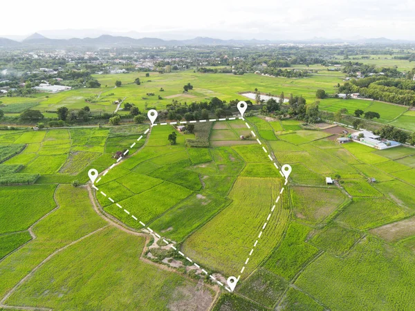
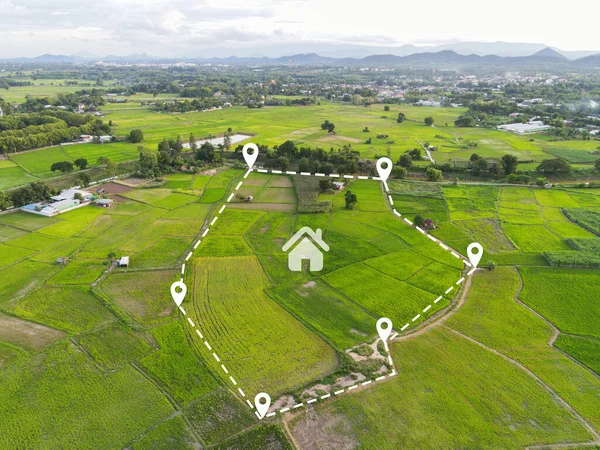
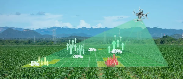
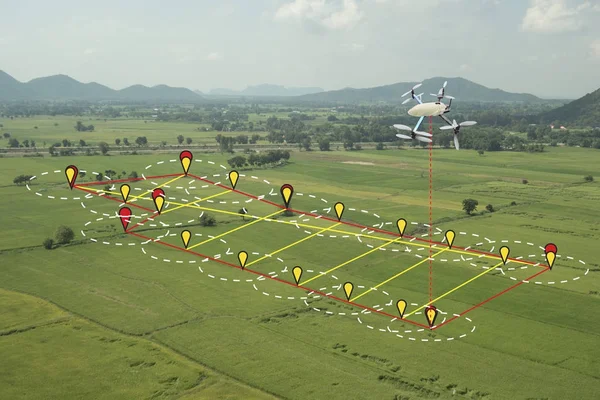
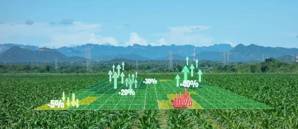
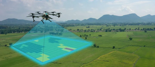
Stock image drone for agriculture, drone use for various fields like research analysis, safety,rescue, terrain scanning technology, monitoring soil hydration ,yield problem and send data to smart farmer on tablet
Published:
Aug.22, 2018 09:13:45
Author:
ekkasit919
Views:
673
Downloads:
33
File type:
image
/
jpg
File size:
7.72 MB
Orginal size:
6000
x
2600
px
Available sizes:
S
(500 x 217)
M
(1000 x 433)
L
(2000 x 867)
XL
(6000 x 2600)
EL0
(6000 x 2600)
Level:
bronze
Download Image
Image topics:
Computer
Photography
Business
Field
Nature
Plant
Natural
Technology
Modern
Harvest
Concept
Farm
Agriculture
Mobile
Screen
Smart
Wireless
Digital
Monitor
Network
Data
Professional
Internet
Camera
Using
Remote
Harvesting
Farming
Agricultural
Soil
Precision
Application
Robot
Innovation
Control
Farmer
Management
Sensor
Crops
Scales
Aerial
Sustainable
Monitoring
Maps
Drone
Surveying
Ph
Quadcopter
Agritech
Smartfarm
Similar stock images
Smart Agriculture Concept, Farmer Use Infrared In Drone With Hig
5472 × 3648
Drone For Agriculture, Drone Use For Various Fields Like Research Analysis, Safety,rescue, Terrain Scanning Technology, Monitoring Soil Hydration ,yield Problem And Send Data To Smart Farmer On Tablet
6000 × 2600
Land Plot In Aerial View, Top View Land Green Field Agriculture Plant With Pins, Pin Location Icon For Housing Subdivision Residential Development Owned Sale Rent Buy Or Investment Countryside Suburbs
6000 × 4500
Land Plot For Building House Aerial View, Land Field With Pins, Pin Location For Housing Subdivision Residential Development Owned Sale Rent Buy Or Investment Home Or House Expand The City Suburb
5000 × 3750
Drone For Agriculture, Drone Use For Various Fields Like Research Analysis, Safety,rescue, Terrain Scanning Technology, Monitoring Soil Hydration ,yield Problem And Send Data To Smart Farmer On Tablet
6000 × 2600
Smart Farming Concept, Drone Use A Technology In Agriculture Wit
5472 × 3648
Land Plot For Building House Aerial View, Land Field With Pins, Pin Location For Housing Subdivision Residential Development Owned Sale Rent Buy Or Investment Home Or House Expand The City Suburb
6000 × 4500
Augmented Mixed Virtual Reality Use For Various Fields Like Research Analysis, Safety,rescue, Terrain Scanning Technology, Monitoring Soil Hydration ,yield Problem And Send Data To Smart Farmer
6000 × 2600