Home
Images
Vectors
Videos
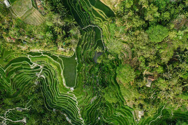
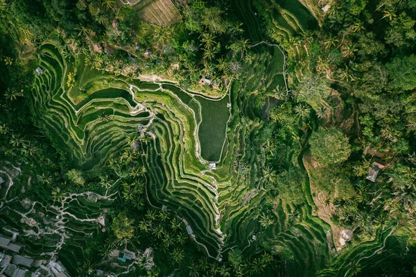
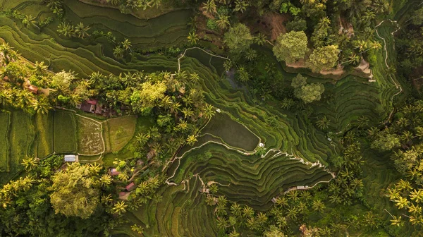
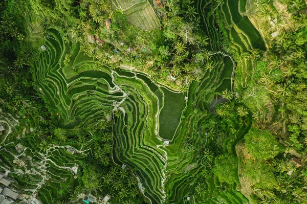
Stock image Drone view of rice plantation in bali with path to walk around and palms.Rice terraces photos from the height, bali, indonesia, ubud, the geometry of the rice field
Published:
May.04, 2020 10:20:58
Author:
irengorbacheva
Views:
18
Downloads:
1
File type:
image
/
jpg
File size:
23.33 MB
Orginal size:
5464
x
3640
px
Available sizes:
S
(500 x 333)
M
(1000 x 666)
L
(2000 x 1332)
XL
(5464 x 3640)
EL0
(5464 x 3640)
Level:
beginner
Download Image
Image topics:
Background
View
Travel
Field
Nature
Outdoor
Environment
Texture
Food
Pattern
Mountain
Terrace
Tropical
Landscape
Farm
Culture
Earth
Tourism
Geometric
Asian
Vacation
Farmland
Land
Asia
Vietnam
Above
Aerial
Valley
Rice
Plantation
Indonesia
Bali
Balinese
Terraced
Ubud
Top View
Aerial View
Rice Field
Rice Fields
Agricultural Field
Rice Plant
Aerial Photography
Jatiluwih
Terrace Garden
Indonesian Landscape
Bali Indonesia
Drone View
Drone Photography
Bali Food
Rice Field Terrace
Similar stock images
Drone View Of Rice Plantation In Bali With Path To Walk Around And Palms.Rice Terraces Photos From The Height, Bali, Indonesia, Ubud, The Geometry Of The Rice Field
5464 × 3640
Beautiful Rice Terraces On The Bali Island.
5464 × 3070
Ubud Of The Island Bali In Indonesia In Southeastasia. Aerial Drone View. Landscape Of The Tegalalang Ricefields And Rice Terraces Green Tones
5222 × 3479
Drone View Of Rice Plantation In Bali With Path To Walk Around And Palms.Rice Terraces Photos From The Height, Bali, Indonesia, Ubud, The Geometry Of The Rice Field
5464 × 3640
Aerial View Of Tegallalang Bali Rice Terraces. Tropical Landscape On Bali, Indonesia
8064 × 4536
Aerial View Of Terraced Field Texture
5188 × 3456
Tegallalang Rice Terraces In Bali. Aerial View From Above In The Morning
3992 × 2242
Aerial View Of The Green Jiabang Terraced Rice Fields In Congjiang County, Qiandongnan Miao And Dong Autonomous Prefecture, Southwest China's Guizhou Province, 1 August 2018.
2569 × 2000