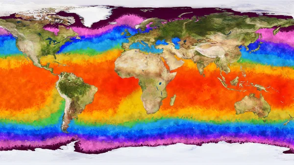
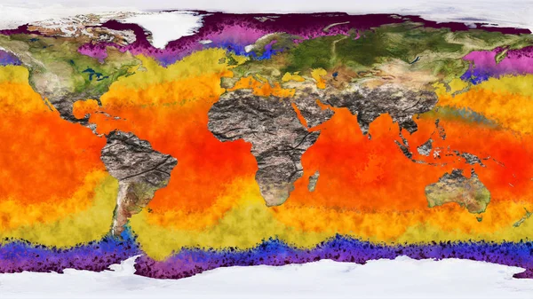
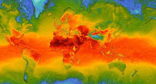
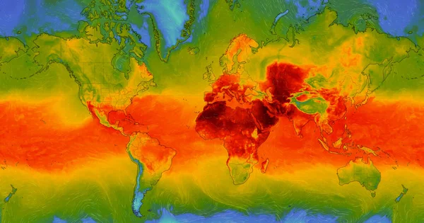
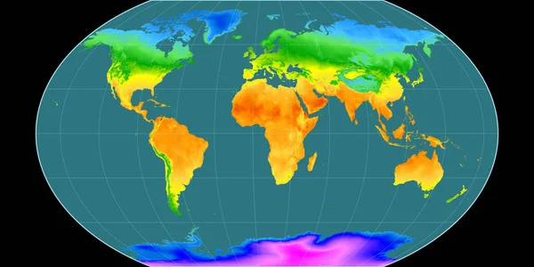
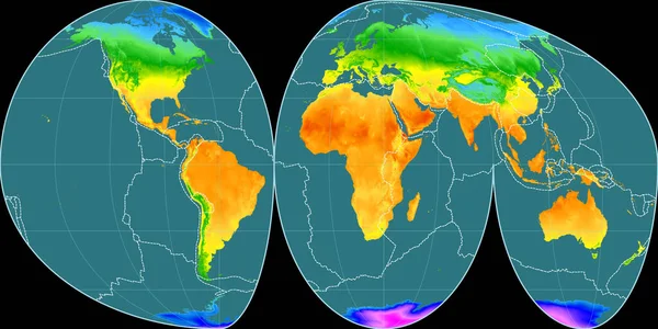
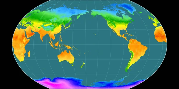
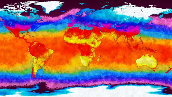
Stock image Earth Landmass and Water Surface Global Warming Concept
Published: Dec.08, 2017 17:06:03
Author: boscorelli
Views: 300
Downloads: 66
File type: image / jpg
File size: 5.15 MB
Orginal size: 3840 x 2160 px
Available sizes:
Level: silver