Home
Images
Vectors
Videos
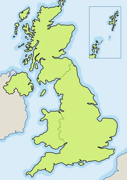
Stock image England map
Published:
Dec.12, 2011 17:51:47
Author:
speedfighter17
Views:
338
Downloads:
1
File type:
image
/
jpg
File size:
1.39 MB
Orginal size:
2650
x
3243
px
Available sizes:
S
(409 x 500)
M
(817 x 1000)
L
(1634 x 2000)
XL
(2650 x 3243)
EL0
(2650 x 3243)
Level:
bronze
Download Image
Image topics:
Element
Sign
Travel
European
Border
Symbol
Icon
Europe
In
Illustrated
Country
Map
Geography
National
Uk
Place
Of
Destination
States
The
English
Territory
England
Mapping
Geographical
Territories
Counties
Great Britain
United Kingdom
Gepgraphy
Similar stock images
Vector Blank Map Of UK With Administrative Divisions, And Neighbouring Countries. Editable And Clearly Labeled Layers.
4000 × 4800
United Kingdom Blank Map Vector - Copyspace For News.
3905 × 5500
Scotland Map
2635 × 3500
Black Location Map Of English Ceremonial County (Lieutenancy Area) Of Shropshire Within Grey Map Of England
3600 × 4800
Black Location Map Of English Ceremonial County (Lieutenancy Area) Of Northamptonshire Within Grey Map Of England
3600 × 4800
Black Location Map Of English Ceremonial County (Lieutenancy Area) Of Berkshire Within Grey Map Of England
3600 × 4800