Home
Images
Vectors
Videos
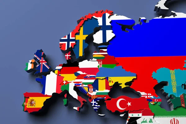
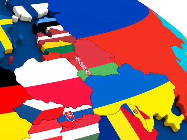
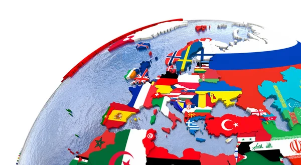
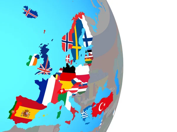
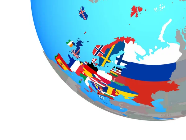
Stock image Europe political map 3d illustration
Published:
Jul.24, 2017 10:01:15
Author:
NosorogUA
Views:
85
Downloads:
2
File type:
image
/
jpg
File size:
10.77 MB
Orginal size:
6000
x
4000
px
Available sizes:
S
(500 x 333)
M
(1000 x 667)
L
(2000 x 1333)
XL
(6000 x 4000)
EL0
(6000 x 4000)
Level:
bronze
Download Image
Image topics:
Render
European
3d
Belarus
Italy
France
Netherlands
Ukraine
Sweden
Scandinavia
Europe
Russia
Country
Germany
Mediterranean
Portugal
Spain
Turkey
Cyprus
Greece
State
Monaco
Bulgaria
Denmark
Farrier
Poland
Austria
Hungary
Slovakia
Slovenia
Iceland
Luxembourg
Balkans
Andorra
Liechtenstein
European Union
United Kingdom
Western Europe
Northern Europe
Bosnia And Herzegovina
EAST EUROPE
Spain Map
Belgium Map
Europe Map
Switzerland Map
Latvia Map
Norway Map
Estonia Map
Lithuania Map
Political Map Of Europe
Similar stock images
Europe Political Map 3d Rendered Image
6000 × 4000
East Europe On Globe With Flags
5000 × 3750
Political Europe Map
5000 × 2750
OECD European Members With National Flags On Simple Political Globe. 3D Illustration.
5000 × 3750
Europe With National Flags On Simple Globe. 3D Illustration.
5000 × 3750
Ukraine On Globe With Flags
5000 × 3750
Europe With Embedded National Flags On Blue Political Globe. 3D Illustration.
5000 × 3750
Northern Europe With National Flags On Simple Blue Political Globe. 3D Illustration.
5000 × 3750