Home
Images
Vectors
Videos
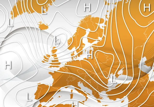
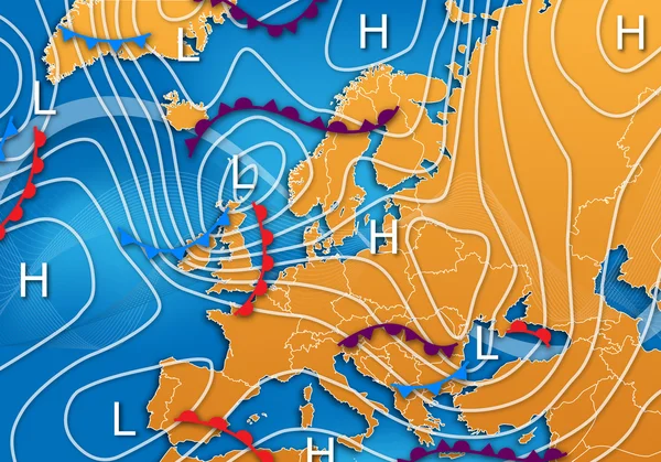
Stock image Europe Weather Map
Published:
Apr.24, 2012 17:25:51
Author:
oconner
Views:
728
Downloads:
9
File type:
image
/
jpg
File size:
4.85 MB
Orginal size:
5000
x
3500
px
Available sizes:
S
(500 x 350)
M
(1000 x 700)
L
(2000 x 1400)
XL
(5000 x 3500)
EL0
(5000 x 3500)
Level:
bronze
Download Image
Image topics:
Background
Element
Illustration
Design
High
Nature
Abstract
Wind
Change
Weather
Pressure
Measurement
Science
Europe
Forecast
Meteorology
Bad
Map
Storm
Research
Good
Low
Climate
Of
Alert
A
Fronts
Global Warming
Natural Force
Weather Forecast
Severe Weather
Jet Stream
Isobars
Isotherms
Weather Map
Weather Forecasting
Similar stock images
European Weather Map
5000 × 3500
Germany. Neighborhood - Distant Perspective With Outline Of The Country. Topographic Relief Map
2880 × 1620
Germany. Neighborhood - Distant Perspective Without Outline. Topographic Relief Map
2880 × 1620
Imaginary Meteorological Vector Weather Map Of Europe.
3808 × 3100
Dresden, Germany - July 11, 2023: Map Of Europe, EU On Windy Weather Web Service Showing Global Heat Wave Of Extreme High Temperature In Summer, July. Concept Of Global Warming And Extreme Weather.
7700 × 4000
Ireland. Neighborhood - Distant Perspective Without Outline. Topographic Relief Map
2880 × 1620
Belarus. Neighborhood - Distant Perspective With Outline Of The Country. Topographic Relief Map
2880 × 1620
British Isles From Space On Model Of Planet Earth With Country Borders. Extremely Fine Detail Of Planet Surface And Clouds. 3D Illustration. Elements Of This Image Furnished By NASA.
5000 × 3750