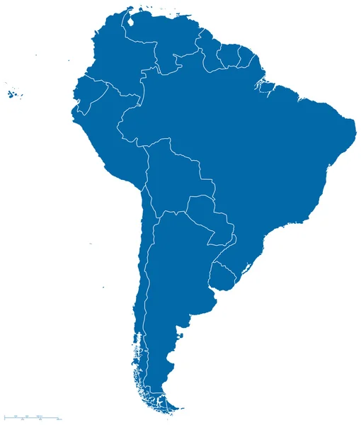
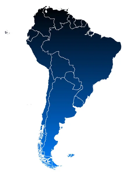
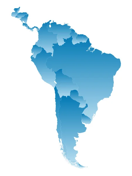
Stock image Extruded map of south america with national borders
Published: Sep.07, 2015 05:32:13
Author: ymgerman
Views: 243
Downloads: 3
File type: image / jpg
File size: 4 MB
Orginal size: 5000 x 5000 px
Available sizes:
Level: silver