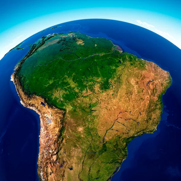
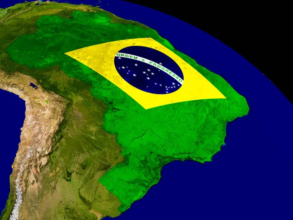
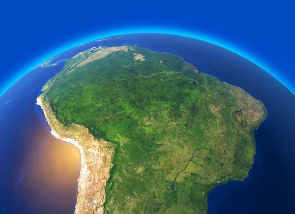
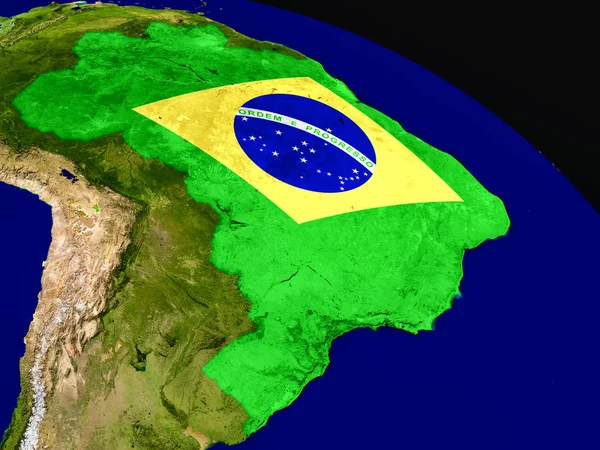
Stock image Flag marker over country of Brazil on world map 3D rendering

Published: Jun.10, 2016 08:43:00
Author: Kagenmi
Views: 48
Downloads: 0
File type: image / jpg
File size: 6.58 MB
Orginal size: 4000 x 2800 px
Available sizes:
Level: bronze