Home
Images
Vectors
Videos
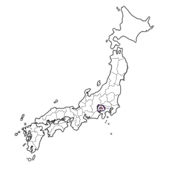
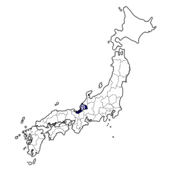
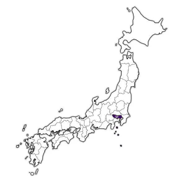
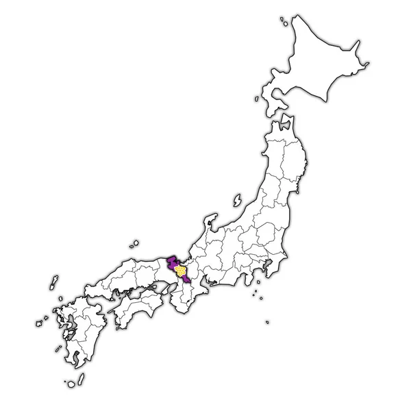
Stock image flag of yamanashi prefecture on map with administrative divisions and borders of japan
Published:
Jul.03, 2018 08:00:47
Author:
michal812
Views:
1
Downloads:
1
File type:
image
/
jpg
File size:
0.75 MB
Orginal size:
4576
x
4531
px
Available sizes:
S
(500 x 495)
M
(1000 x 990)
L
(2000 x 1980)
XL
(4576 x 4531)
EL0
(4576 x 4531)
Level:
bronze
Download Image
Image topics:
Blue
Isolated
Border
Vintage
Flag
Symbol
District
Map
Cartography
Geography
Japan
Emblem
Political
Administrative
Region
Division
Prefecture
Fu
Province
Municipality
Nippon
Hokkaido
Honshu
Kyushu
Shikoku
Jurisdiction
Coat Of Arms
Yamanashi
Similar stock images
Flag Of Fukui Prefecture On Map With Administrative Divisions And Borders Of Japan
4576 × 4531
Flag Of Tokyo Prefecture On Map With Administrative Divisions And Borders Of Japan
4576 × 4531
Kyoto Flag Of Troms Prefecture On Map With Administrative Divisions And Borders Of Japan
4576 × 4531
Flag Of Gifu Prefecture On Map With Administrative Divisions And Borders Of Japan
4576 × 4531
Flag Of Wakayama Prefecture On Map With Administrative Divisions And Borders Of Japan
4576 × 4531
Hyogo Flag Of Troms Prefecture On Map With Administrative Divisions And Borders Of Japan
4576 × 4531
Hiroshima Flag Of Troms Prefecture On Map With Administrative Divisions And Borders Of Japan
4576 × 4531
Ibaraki Flag Of Troms Prefecture On Map With Administrative Divisions And Borders Of Japan
4576 × 4531