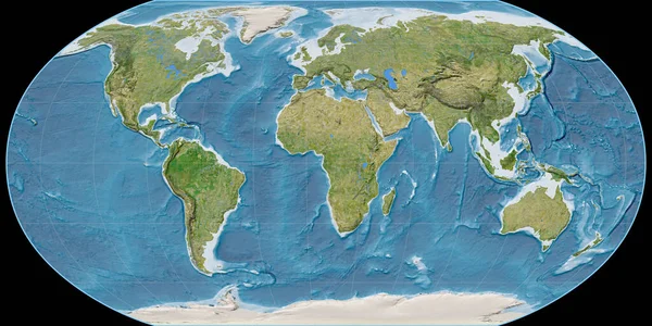
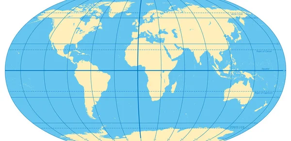
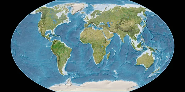
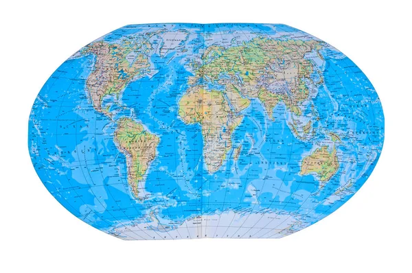
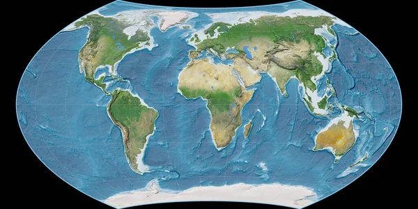
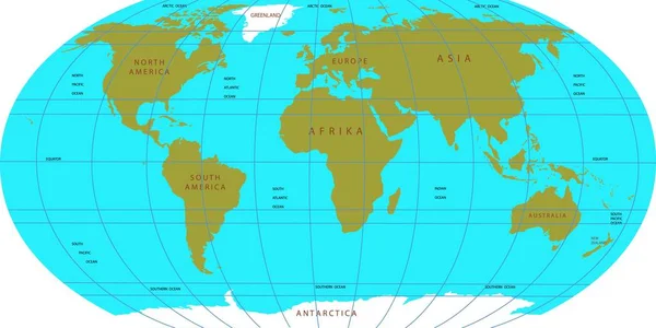
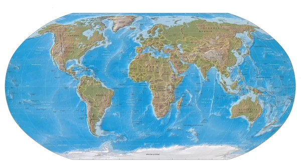
Stock image Flat earth
Published: Jun.17, 2010 08:28:09
Author: delkoo
Views: 5231
Downloads: 83
File type: image / jpg
File size: 2.18 MB
Orginal size: 5334 x 2960 px
Available sizes:
Level: bronze