Home
Images
Vectors
Videos
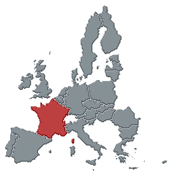
Stock image France on map of Europe
Published:
Jan.20, 2015 15:45:54
Author:
vampy1
Views:
150
Downloads:
0
File type:
image
/
jpg
File size:
6.71 MB
Orginal size:
5580
x
3937
px
Available sizes:
S
(500 x 353)
M
(1000 x 706)
L
(2000 x 1411)
XL
(5580 x 3937)
EL0
(5580 x 3937)
Level:
silver
Download Image
Image topics:
Red
White
Blue
Background
Graphic
Illustration
Design
Business
Art
Travel
Detail
Silhouette
3d
Modern
Gray
Symbol
Elements
Icon
Global
Wallpaper
Education
Earth
Planet
World
France
Ocean
North
Europe
Globe
East
Country
West
Map
Cartography
Geography
National
Continent
Land
Worldwide
Topography
International
Borders
Political
Paris
Locations
Atlas
Nation
Hemisphere
World Map
Europe Map
Similar stock images
Germany On Map Of Europe
5580 × 3937
Isolated France Map Design
5315 × 5315
Political Map Of The European Union With The Several States Where France Is Highlighted.
6772 × 6850
Map France
2100 × 2970
Map Of France On Earth
5000 × 3750
3D Europe Map
4000 × 4000
France Country Location Within Europe 3d Isometric Map
4000 × 4000
Close-up Of The France Border Area Highlighting With A Dark Overlay On A Physical Map. Capital Point. Glow Around The Country Shape. English Name Of The Country And Its Capital
3840 × 2160