Home
Images
Vectors
Videos
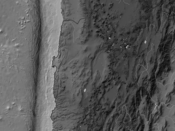
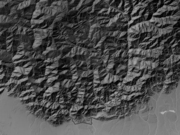
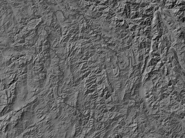
Stock image Francisco Morazan, department of Honduras. Grayscaled map with lakes and rivers. Shape outlined against its country area. 3D rendering
Published:
Jul.03, 2020 09:34:48
Author:
Yarr65
Views:
0
Downloads:
0
File type:
image
/
jpg
File size:
3.06 MB
Orginal size:
2880
x
1620
px
Available sizes:
S
(500 x 281)
M
(1000 x 563)
L
(2000 x 1125)
XL
(2880 x 1620)
EL0
(2880 x 1620)
Level:
bronze
Download Image
Image topics:
View
Shape
Travel
Nature
Border
Landscape
Glow
Contour
Scale
Earth
Planet
World
Ocean
Science
Capital
Profile
Outline
Country
Map
Cartography
Geography
Continent
Land
Zoom
Department
Region
Grayscale
Territory
Outlined
Atlas
Legend
Overlay
Honduras
Tegucigalpa
Hnd
3d Rendering
North America
Subregion
Administrative Division
Similar stock images
Chiquimula, Department Of Guatemala. Grayscale Elevation Map With Lakes And Rivers
3840 × 2880
Antofagasta, Region Of Chile. Grayscale Elevation Map With Lakes And Rivers
3840 × 2880
Bac Kan, Province Of Vietnam. Bilevel Elevation Map With Lakes And Rivers
3840 × 2880
Dagana, District Of Bhutan. Grayscale Elevation Map With Lakes And Rivers
3840 × 2880
Phongsali, Province Of Laos. Bilevel Elevation Map With Lakes And Rivers
3840 × 2880
Ovorhangay, Province Of Mongolia. Grayscaled Map With Lakes And Rivers. Shape Outlined Against Its Country Area. 3D Rendering
2880 × 1620
Dagana, District Of Bhutan. Bilevel Elevation Map With Lakes And Rivers
3840 × 2880
Oudomxai, Province Of Laos. Bilevel Elevation Map With Lakes And Rivers
3840 × 2880