Home
Images
Vectors
Videos
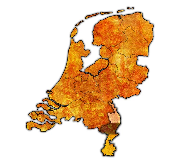
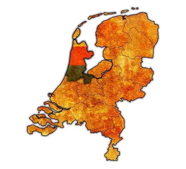
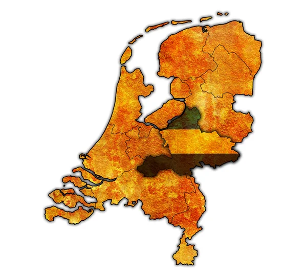
Stock image gelderland on map of provinces of netherlands
Published:
Mar.04, 2016 09:22:58
Author:
michal812
Views:
42
Downloads:
0
File type:
image
/
jpg
File size:
4.94 MB
Orginal size:
4456
x
4056
px
Available sizes:
S
(500 x 455)
M
(1000 x 910)
L
(2000 x 1820)
XL
(4456 x 4056)
EL0
(4456 x 4056)
Level:
bronze
Download Image
Image topics:
Background
Illustration
Isolated
Travel
Technology
Border
Grunge
Old
Vintage
Flag
Symbol
Netherlands
Holland
Country
Map
Cartography
Geography
State
Emblem
Location
Political
Region
Division
Territory
Administration
Atlas
Province
Nation
Gelderland
Clipping Path
Netherlands Flag
Similar stock images
Flevoland On Map Of Provinces Of Netherlands
4456 × 4056
Limburg On Map Of Provinces Of Netherlands
4456 × 4056
Map Of Provinces Of Netherlands
4456 × 4056
North Holland On Map Of Provinces Of Netherlands
4456 × 4056
Utrecht On Map Of Provinces Of Netherlands
4456 × 4056
Zeeland On Map Of Provinces Of Netherlands
4456 × 4056
South Holland On Map Of Provinces Of Netherlands
4456 × 4056
Overijssel On Map Of Provinces Of Netherlands
4456 × 4056