Home
Images
Vectors
Videos
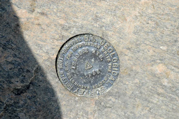
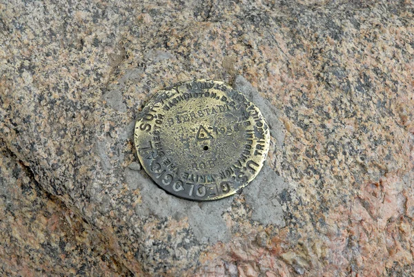
Stock image Geodetic vertices are the points of the territory that measure the location (latitude, longitude and altitude)
Published:
Feb.20, 2020 14:51:37
Author:
sansyunara
Views:
1
Downloads:
0
File type:
image
/
jpg
File size:
3.64 MB
Orginal size:
3456
x
4608
px
Available sizes:
S
(375 x 500)
M
(750 x 1000)
L
(1500 x 2000)
XL
(3456 x 4608)
EL0
(3456 x 4608)
Level:
beginner
Download Image
Image topics:
Metal
Vacations
Nature
Mountain
Rock
Stainless
Latitude
Longitude
Plates
Altitude
Territory
Excursions
Routes
Getaways
Vertices
Geodesic Vertices
Marks Plates
Similar stock images
Old Vintage Grunge Concrete Cement Bricks Wall Background Wallpaper Surface Backdrop
6000 × 4000
Yellow Stone In The Pond Water
5472 × 3648
Uncompahgre Peak USGS Summit Marker
3872 × 2592
Yellow Stone In The Pond Water
5472 × 3648
Closeup Tree Bark Background
2666 × 4000
Natural Stone With A Beautiful Texture In Canadian Forest In Quebec, Lanaudiere Region
6000 × 4000
Texture Of A Colorful Natural Stone As A Background
5302 × 3535
Mount Bierstadt Summit Marker, Front Range, Rocky Mountains, Colorado
3872 × 2592