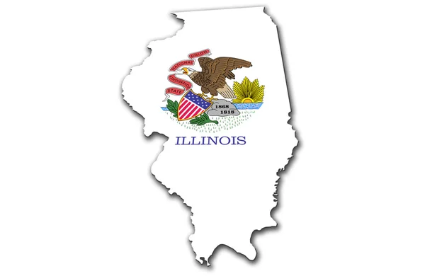
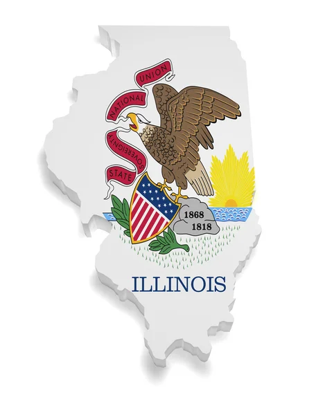
Stock image Geographic border map and flag of Illinois, The Prairie State

Published: Oct.30, 2015 12:18:02
Author: Kagenmi
Views: 87
Downloads: 0
File type: image / jpg
File size: 1.27 MB
Orginal size: 3500 x 4000 px
Available sizes:
Level: bronze