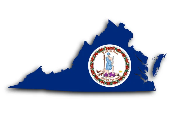
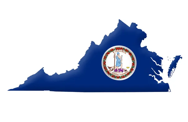
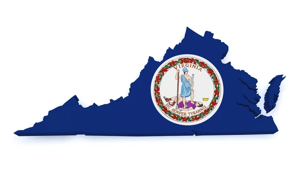
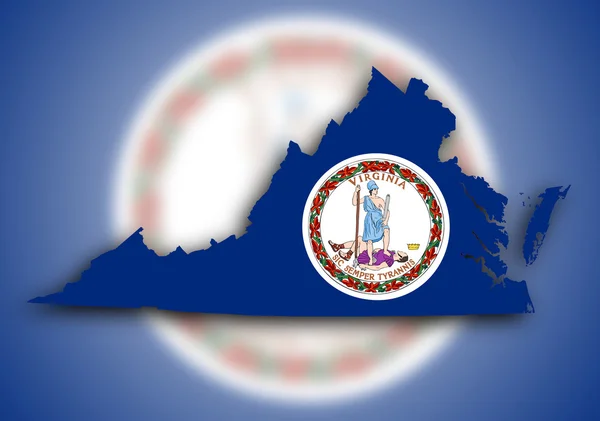
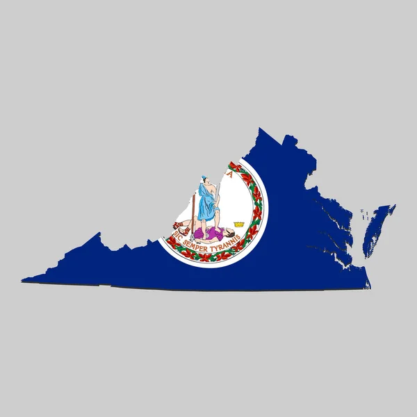
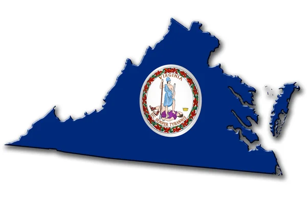
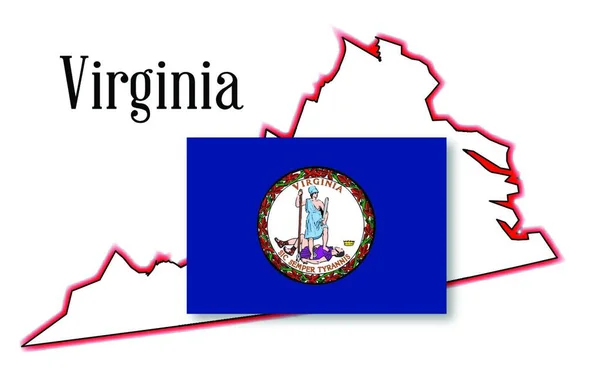
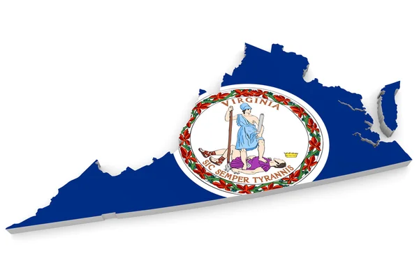
Stock image Geographic border map and flag of Virginia, Old Dominion state
Published: Apr.18, 2015 03:53:30
Author: Kagenmi
Views: 89
Downloads: 1
File type: image / jpg
File size: 1.19 MB
Orginal size: 4000 x 2600 px
Available sizes:
Level: bronze