photo free
Home Images Vectors Videos

Stock image geographical map, graphic illustration
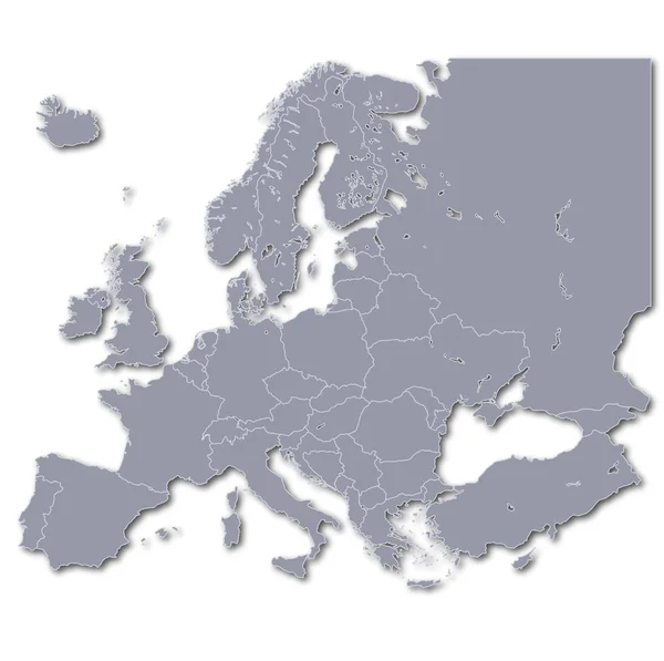
Stock image geographical map, graphic illustration
Published: Apr.15, 2020 12:53:39
Author: PantherMediaSeller
Views: 21
Downloads: 1
File type: image / jpg
File size: 0 MB
Orginal size: 4019 x 4000 px
Available sizes:
S
(500 x 498)
M
(1000 x 995)
L
(2000 x 1991)
XL
(4019 x 4000)
EL0
(4019 x 4000)
Level: platinum
Download Image
Image topics:

Similar stock images

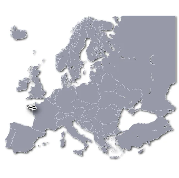
stock image europe map with brittany

Europe Map With Brittany

4019 × 4000
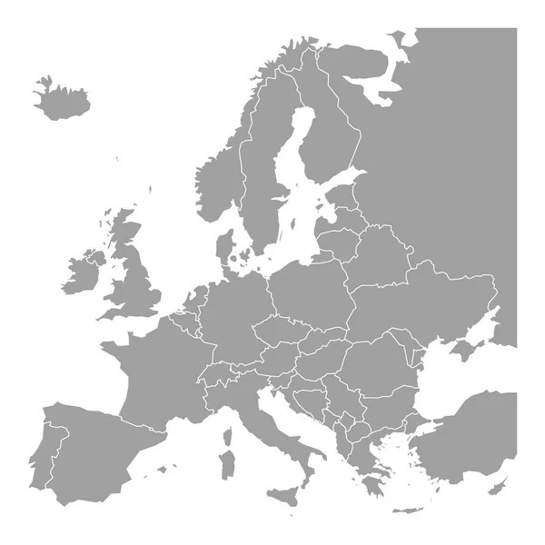
stock vector Blank map of Europe. Simplified vector map in grey with white borders on white background

Blank Map Of Europe. Simplified Vector Map In Grey With White Borders On White Background

6000 × 6000
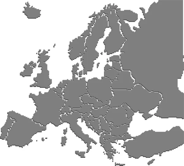
stock vector Map of Europe made of gray dots. Dotted silhouette, outline and surface of Europe and the surrounded regions. Dots in a row. Isolated illustration on white background. Vector.

Map Of Europe Made Of Gray Dots. Dotted Silhouette, Outline And Surface Of Europe And The Surrounded Regions. Dots In A Row. Isolated Illustration On White Background. Vector.

6000 × 6000
stock vector Europe with countries Map grey

Europe With Countries Map Grey

5813 × 5000
stock image Europe map simple illustration

Europe Map Simple Illustration

2073 × 1874