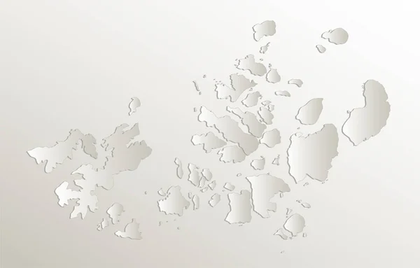
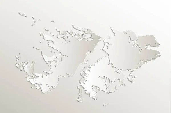
Stock image Geographical Map of Bahamas with Districts with Counties with Regions with Shadows

Published: Jun.27, 2022 09:59:44
Author: AhmedZaggoudi
Views: 1
Downloads: 0
File type: image / jpg
File size: 0.55 MB
Orginal size: 3500 x 2000 px
Available sizes:
Level: beginner