Home
Images
Vectors
Videos
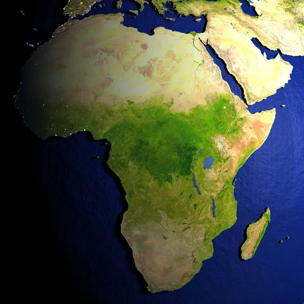
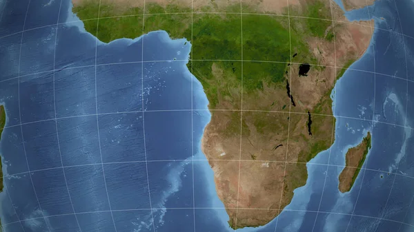
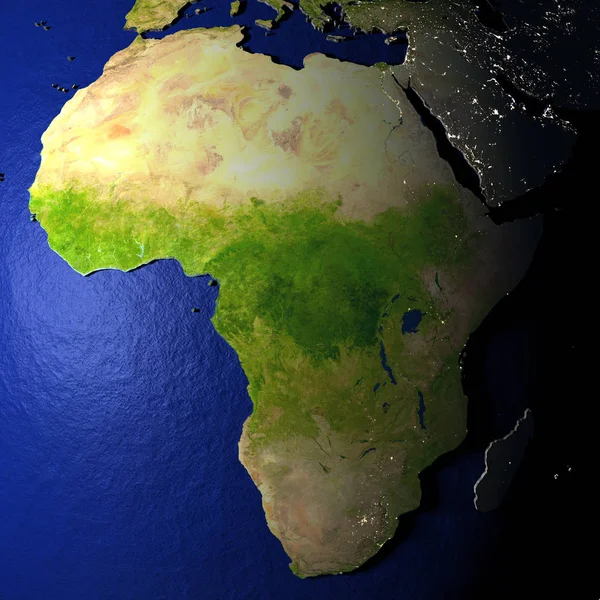
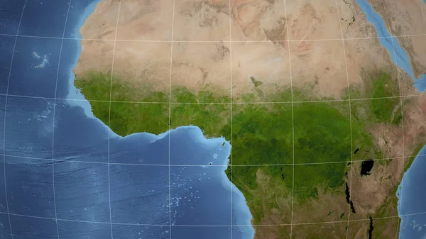
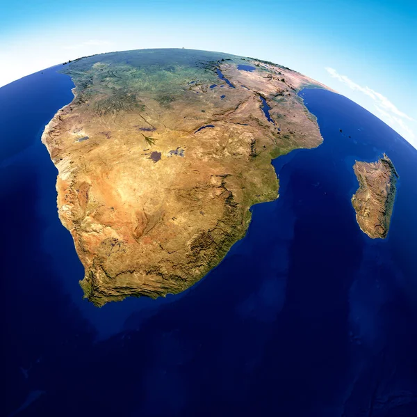
Stock image Globe map of South Africa, geographical map, physics. Cartography, atlas. Map with reliefs and mountains. Republic of South Africa. Satellite view. 3d render. Element of this images are furnished by Nasa
Published:
Nov.23, 2020 07:45:08
Author:
vampy1
Views:
73
Downloads:
1
File type:
image
/
jpg
File size:
10.82 MB
Orginal size:
4818
x
4815
px
Available sizes:
S
(500 x 500)
M
(1000 x 999)
L
(2000 x 1999)
XL
(4818 x 4815)
EL0
(4818 x 4815)
Level:
silver
Download Image
Image topics:
Blue
Design
Nature
Sea
Style
Old
Vintage
Forest
Mountains
Earth
Planet
World
Clouds
Ocean
Globe
Atmosphere
Map
Cartography
Geography
Plan
Africa
Orbit
Physics
Maritime
Borders
States
Region
Continents
Atlas
Plains
Namibia
Madagascar
Reliefs
Botswana
Lesotho
Mozambique
Zimbabwe
3d Render
Atlantic Ocean
Indian Ocean
Satellite View
Republic Of South Africa
Physical Map
Eswatini
Extreme South
Similar stock images
Africa On Model Of Earth With Embossed Land
5000 × 5000
Angola. Neighborhood - Distant Perspective Without Outline. Satellite Imagery
2880 × 1620
Africa On Model Of Earth With Embossed Land
5000 × 5000
Swaziland On Physical Map
5000 × 3750
Swaziland On Model Of Earth
5000 × 3750
South Africa, Madagascar
2500 × 2500
Cameroon. Neighborhood - Distant Perspective Without Outline. Satellite Imagery
2880 × 1620