Home
Images
Vectors
Videos
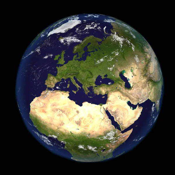
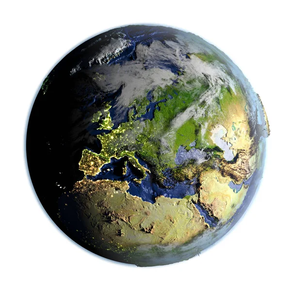
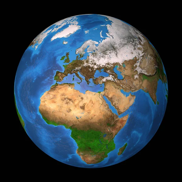
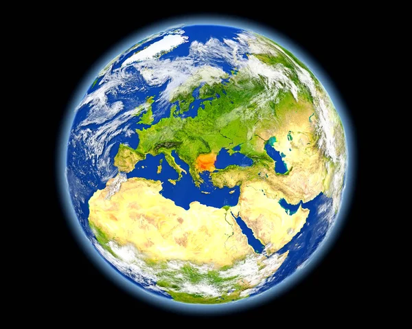
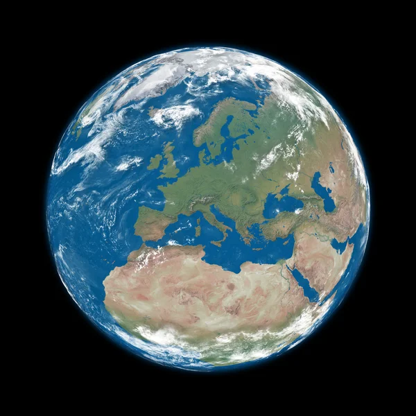
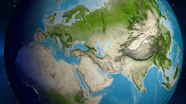
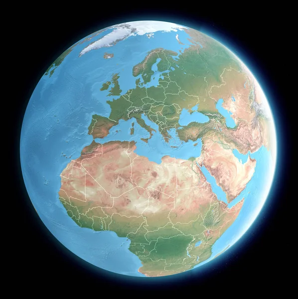
Stock image Globe map of the Mediterranean Sea and Europe, Africa and the Middle East. Cartography, geographical atlas. 3d render. Element of this images are furnished by Nasa
Published:
Feb.27, 2020 10:33:27
Author:
vampy1
Views:
19
Downloads:
0
File type:
image
/
jpg
File size:
13.4 MB
Orginal size:
5327
x
5342
px
Available sizes:
S
(499 x 500)
M
(997 x 1000)
L
(1994 x 2000)
XL
(5327 x 5342)
EL0
(5327 x 5342)
Level:
silver
Download Image
Image topics:
Blue
Design
Paper
Treasure
Sea
Scroll
Old
Vintage
Mountains
Book
Earth
World
Italy
France
Ocean
Europe
Globe
Parchment
Russia
Map
Cartography
Geography
Africa
Algeria
Egypt
Germany
Mediterranean
Spain
Greece
Physics
Plane
Maritime
Countries
Borders
States
Israel
Iraq
Continents
England
Atlas
Tunisia
Plains
Syria
Lebanon
Morocco
Reliefs
3d Render
Middle East
Satellite View
Physical Map
Similar stock images
The Earth From Space Showing Europe And Africa 3d Render Illustration. Other Orientations Available.
5000 × 5000
Europe On Earth Isolated On White
5000 × 5000
Europe On Planet Earth
5000 × 5000
Planet Earth Featuring Europe And European Union Countries
4724 × 4724
Planet Earth. Europe, Africa And Asia.
8000 × 8000
Bulgaria In Red From Space
6250 × 5000
Europe On Blue Earth
5000 × 5000
Satellite Map Centered On Armenia Neighborhood Area
3840 × 2160