photo free
Home Images Vectors Videos

Stock image globe map with political map of africa

Stock image globe map with political map of africa
Published: Apr.01, 2019 08:36:03
Author: michal812
Views: 2
Downloads: 0
File type: image / jpg
File size: 1.5 MB
Orginal size: 4999 x 5000 px
Available sizes:
S
(500 x 500)
M
(1000 x 1000)
L
(2000 x 2000)
XL
(4999 x 5000)
EL0
(4999 x 5000)
Level: bronze
Download Image
Image topics:

Similar stock images

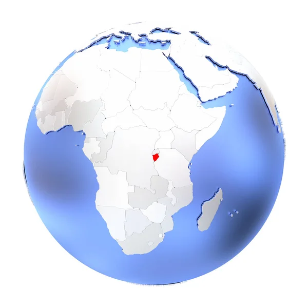
stock image Burundi on metallic globe isolated

Burundi On Metallic Globe Isolated

5000 × 5000
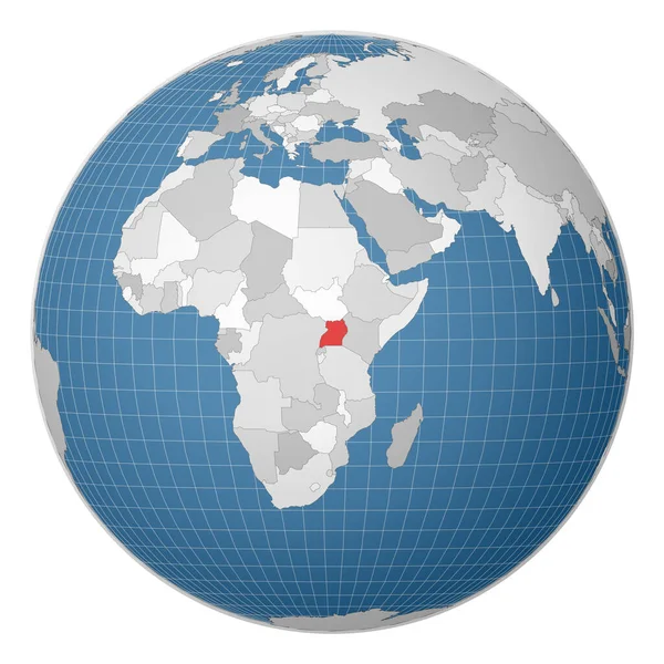
stock vector Zimbabwe on the globe. Earth centered at the location of the Republic of Zimbabwe. Map of Zimbabwe. Includes layer with capital cities.

Zimbabwe On The Globe. Earth Centered At The Location Of The Republic Of Zimbabwe. Map Of Zimbabwe. Includes Layer With Capital Cities.

8000 × 8000
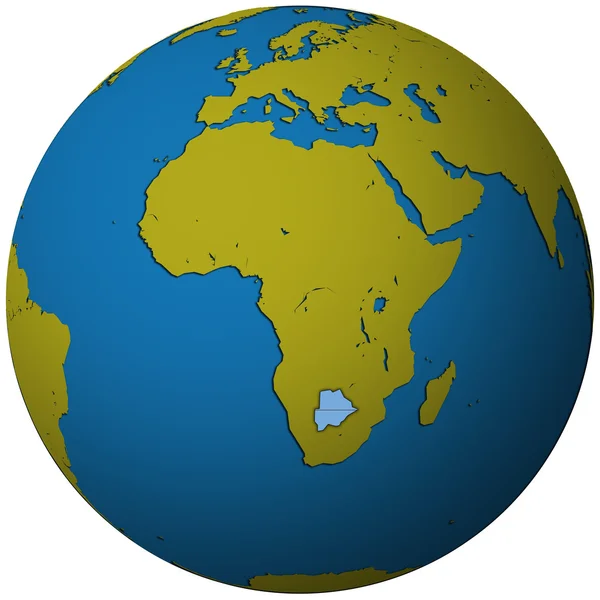
stock image Botswana flag on globe map

Botswana Flag On Globe Map

4999 × 5000
stock vector Globe centered to Uganda Country highlighted with green color on world map Satellite world

Globe Centered To Uganda Country Highlighted With Green Color On World Map Satellite World

5482 × 5482
stock vector Globe centered to DR Congo Country highlighted with green color on world map Satellite world

Globe Centered To DR Congo Country Highlighted With Green Color On World Map Satellite World

5482 × 5482
stock vector Globe centered to Swaziland Country highlighted with green color on world map Satellite projection

Globe Centered To Swaziland Country Highlighted With Green Color On World Map Satellite Projection

5488 × 5488
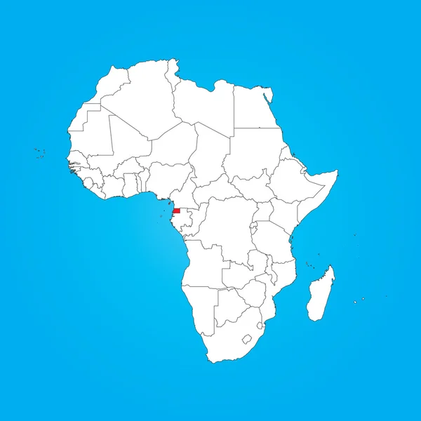
stock image Map of Africa with a selected country of Equitorial Guinea

Map Of Africa With A Selected Country Of Equitorial Guinea

6250 × 6250
stock image Map of Africa with a selected country of Gambia

Map Of Africa With A Selected Country Of Gambia

6250 × 6250