Home
Images
Vectors
Videos
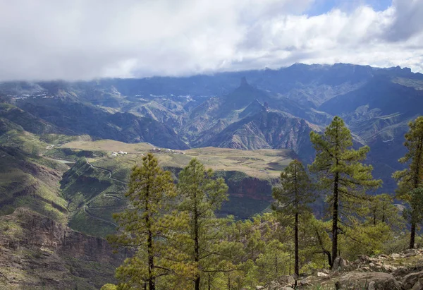
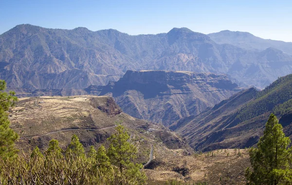
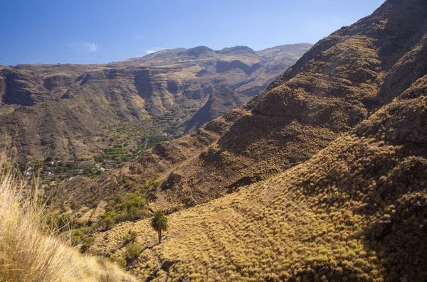
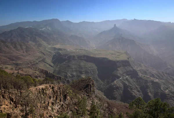
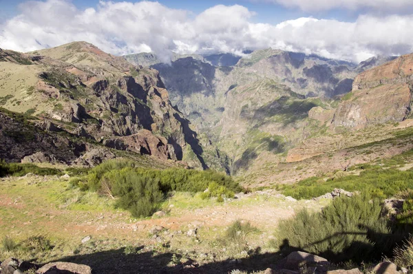
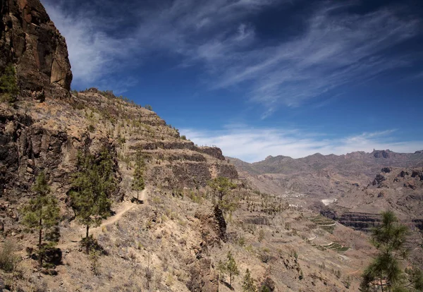
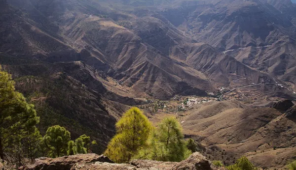
Stock image Gran Canaria, landscape of the mountainous part of the island in the Nature Park Tamadaba, hiking route to Faneque, the tallest over-the-sea cliff of Europe
Published:
Nov.23, 2021 10:16:45
Author:
Tamara_k
Views:
0
Downloads:
0
File type:
image
/
jpg
File size:
18.98 MB
Orginal size:
5436
x
3136
px
Available sizes:
S
(500 x 288)
M
(1000 x 577)
L
(2000 x 1154)
XL
(5436 x 3136)
EL0
(5436 x 3136)
Level:
silver
Download Image
Image topics:
Blue
View
High
Beautiful
Holiday
Travel
Vacations
Park
Nature
Natural
Tree
Mountain
Walking
Landscape
Pine
Tall
Forest
Rock
Tourism
Route
Famous
Europe
Hiking
Spain
Sight
Above
Rocky
Cliff
Access
Amazing
Formation
Steep
Destination
Islands
Difficult
Subtropical
Inland
Origin
Tallest
Volcanic
Wildfire
Canaries
Aereal
Canary Islands
Atlantic Ocean
Gran Canaria
Over The Sea
Tamadaba
Faneque
Similar stock images
Gran Canaria, October, View From A Hiking Path Across Valley Barranco De Juncal
4000 × 2640
Central Gran Canaria
5451 × 3744
Gran Canaria, View Across Caldera De Tejeda To Plateau Of Acusa
4000 × 2545
Pisac Ruins Near Pisac Sacred Valley, Peru
7360 × 4912
Gran Canaria, October, Landscapes Of Valley Of Agaete, Hiking Route San Pedro - Puerto De Las Nieves, View Across The Valley
4500 × 2978
Gran Canaria, View From The Top Of Altavista Mountain, Aboriginal Name Azaenegue, Towards Caldera De Tejeda
3000 × 2044
Pico Do Arieiro Hiking Trail, Amazing Magic Landscape With Incredible Views, Rocks And Mist, View Of The Valley Between Rocks
3900 × 2593
Gran Canaria, Landscape Of The Southern Part Of The Island Along Barranco De Arguinegun Steep And Deep Ravinewith Vertical Rock Walls, Circular Hiking Route Starting At A Hamlet Barranquillo Andres
5401 × 3731