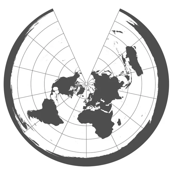
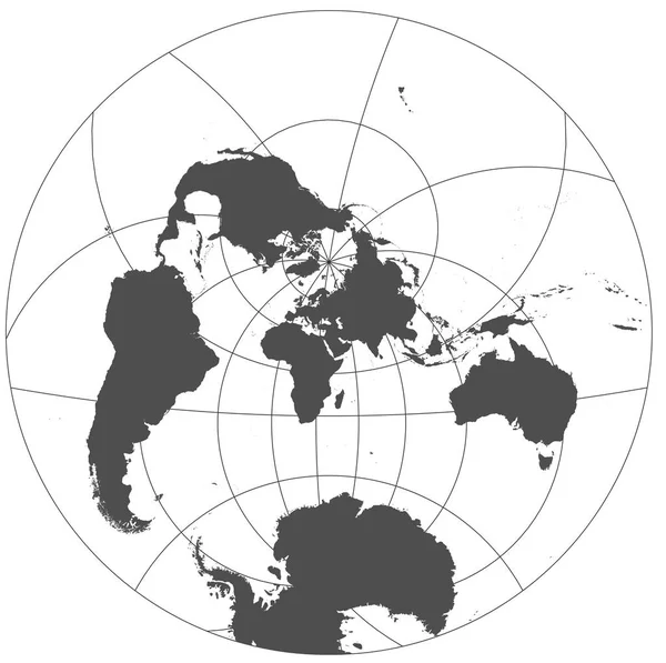
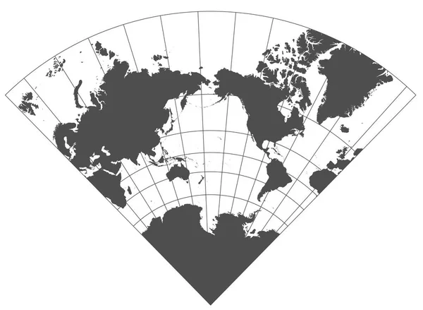
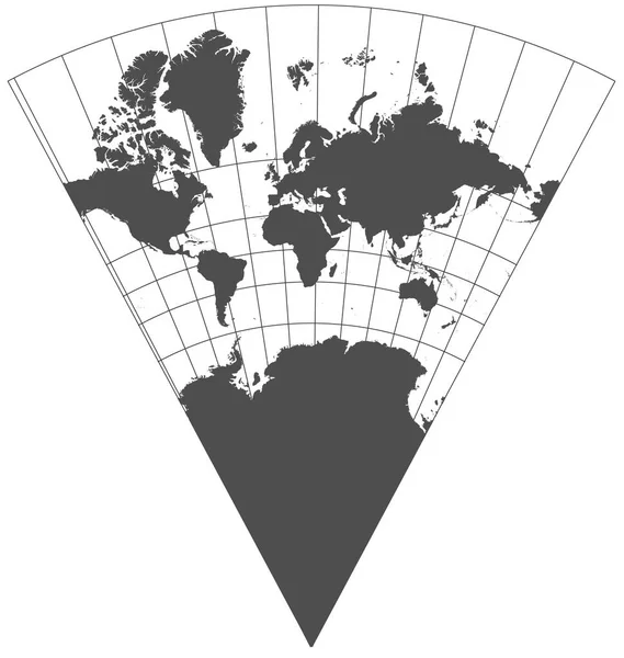
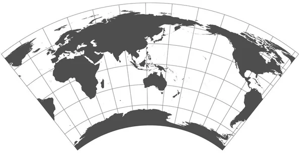
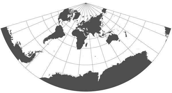
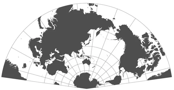
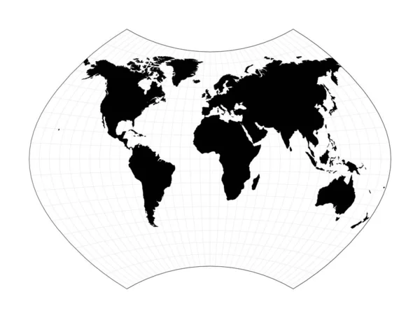
Stock image Gray world in different cartographic projections. 30 degrees grid of Meridians and parallels.
Published: Jan.15, 2018 13:24:37
Author: Geo_Nik
Views: 29
Downloads: 1
File type: image / jpg
File size: 3.51 MB
Orginal size: 12248 x 8969 px
Available sizes:
Level: beginner
Similar stock images
Gray World In Different Cartographic Projections. 30 Degrees Grid Of Meridians And Parallels.
11622 × 12248
Gray World In Different Cartographic Projections. 30 Degrees Grid Of Meridians And Parallels.
12248 × 6301
Gray World In Different Cartographic Projections. 30 Degrees Grid Of Meridians And Parallels.
12248 × 6645
Gray World In Different Cartographic Projections. 30 Degrees Grid Of Meridians And Parallels.
12248 × 6362

World Map With Meridians Ginzburg IX Projection Plan World Geographical Map With Graticlue Lines
6304 × 4772