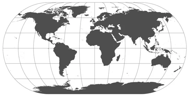
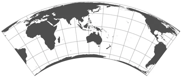
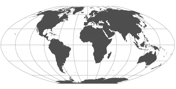
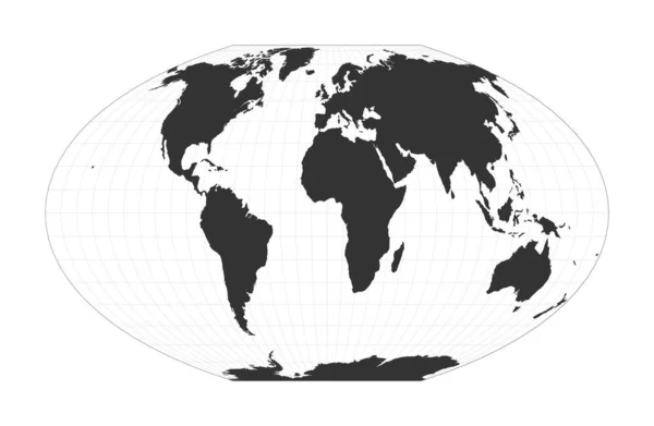
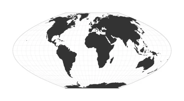
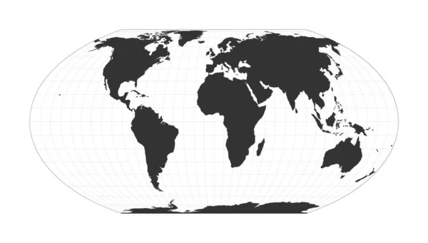
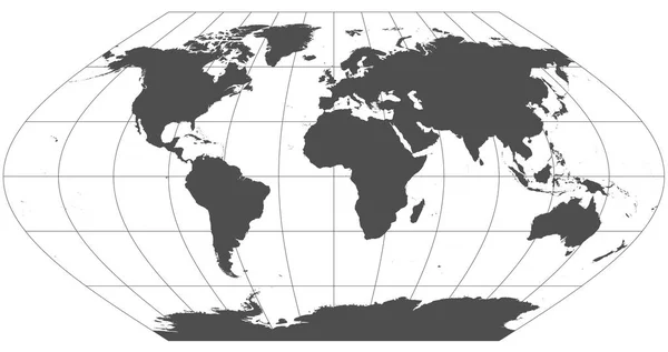
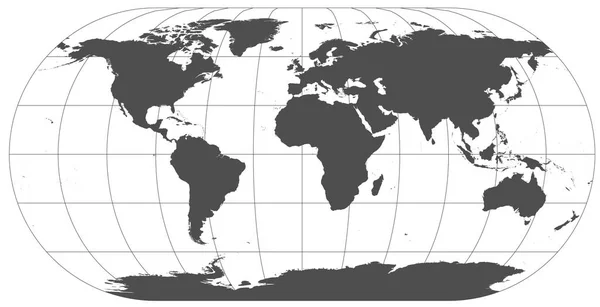
Stock image Gray world in different cartographic projections. 30 degrees grid of Meridians and parallels.
Published: Jan.16, 2018 11:03:33
Author: Geo_Nik
Views: 44
Downloads: 3
File type: image / jpg
File size: 2.53 MB
Orginal size: 12248 x 6263 px
Available sizes:
Level: beginner
Similar stock images
Map Of The World McBrydeThomas Flatpolar Quartic Pseudocylindrical Equalarea Projection Globe
6802 × 4438
Map Of The World McBrydeThomas Flatpolar Parabolic Pseudocylindrical Equalarea Projection Globe
7400 × 4067
Map Of The World Wagner IV Projection Globe With Latitude And Longitude Net World Map On
7269 × 4136

Map Of The World Waldo R Toblers Hyperelliptical Projection Globe With Latitude And Longitude
7266 × 4134
Gray World In Different Cartographic Projections. 30 Degrees Grid Of Meridians And Parallels.
12248 × 6489
Gray World In Different Cartographic Projections. 30 Degrees Grid Of Meridians And Parallels.
12248 × 6268