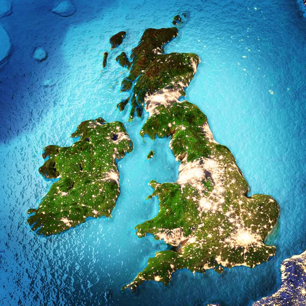
Stock image Great Britain and Ireland
Published: Jun.26, 2017 07:57:43
Author: 1xpert
Views: 138
Downloads: 7
File type: image / jpg
File size: 6.15 MB
Orginal size: 2500 x 2500 px
Available sizes:
Level: silver