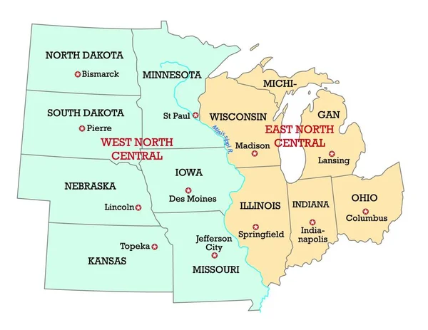
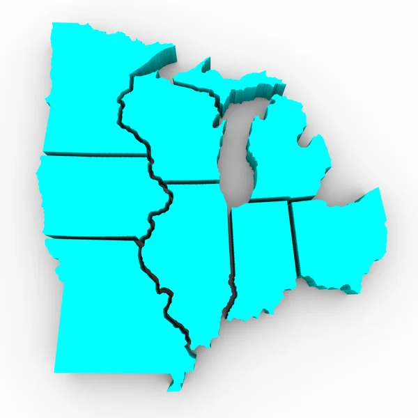
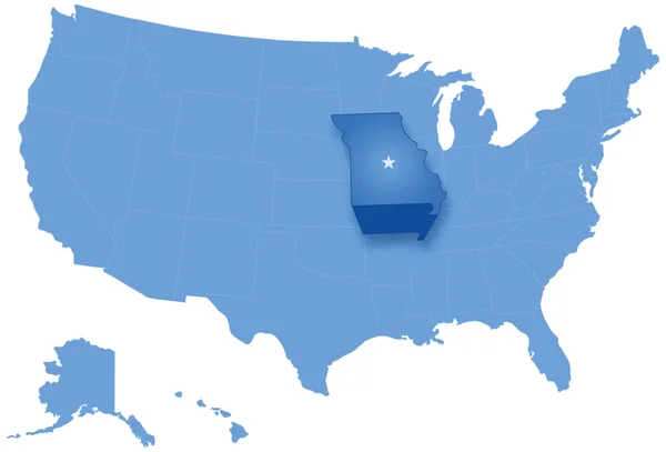
Stock image Great Lakes Region of States - 3d Map
Published: Dec.10, 2010 15:37:38
Author: iqoncept
Views: 2241
Downloads: 15
File type: image / jpg
File size: 2.62 MB
Orginal size: 4096 x 4096 px
Available sizes:
Level: gold
Similar stock images


High Quality Map Of Midwest Region Of United States Of America With Borders Of The States
4000 × 4000