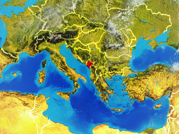
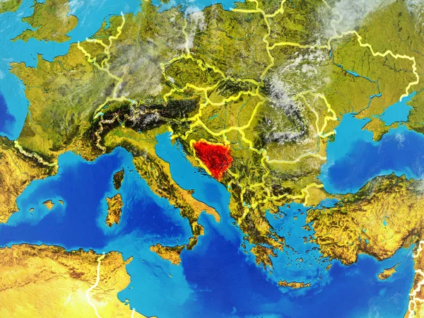
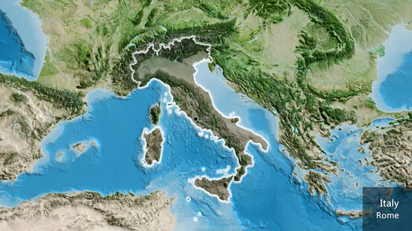
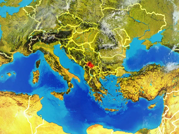
Stock image Hand-drawn map of the Mediterranean, Europe, Africa and Middle East
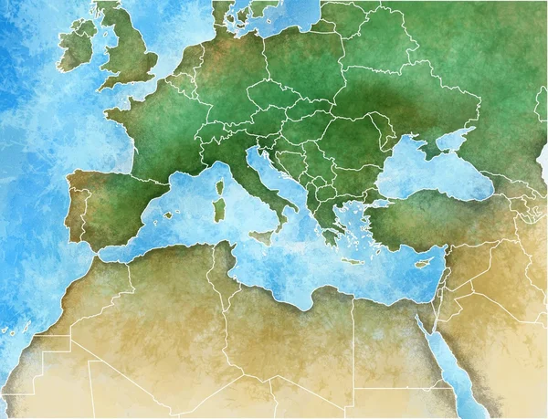
Published: Jul.28, 2016 07:54:08
Author: vampy1
Views: 671
Downloads: 19
File type: image / jpg
File size: 1.45 MB
Orginal size: 3901 x 2989 px
Available sizes:
Level: silver