Home
Images
Vectors
Videos
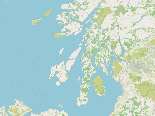
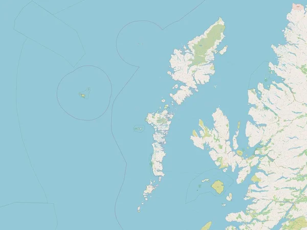
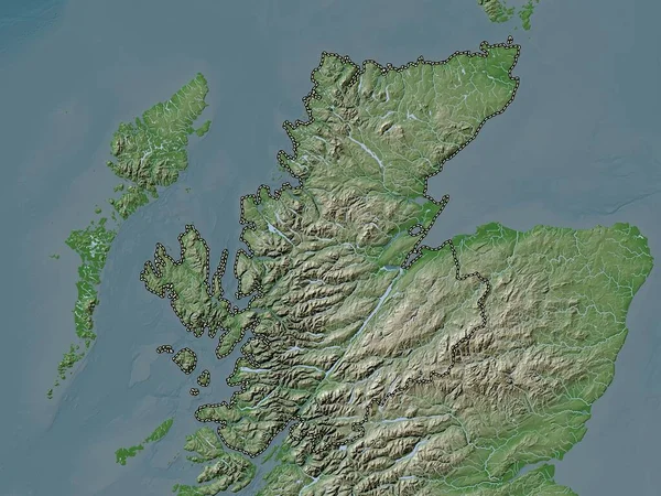
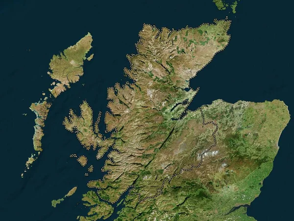
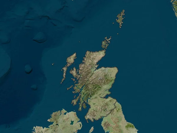
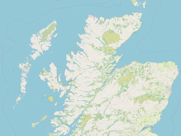
Stock image Highland, region of Scotland - Great Britain. Open Street Map
Published:
Apr.21, 2023 13:50:51
Author:
Yarr65
Views:
0
Downloads:
0
File type:
image
/
jpg
File size:
4.32 MB
Orginal size:
3840
x
2880
px
Available sizes:
S
(500 x 375)
M
(1000 x 750)
L
(2000 x 1500)
XL
(3840 x 2880)
EL0
(3840 x 2880)
Level:
bronze
Download Image
Image topics:
Shape
Nature
Border
Contour
Earth
Planet
World
Ocean
Science
Capital
Europe
Outline
Country
Map
Geography
Continent
Land
Zoom
Region
Wick
Highland
Territory
Atlas
Legend
Edinburgh
Tain
Stereographic
Inverness
GBR
Aviemore
Fort William
Nairn
Grantown On Spey
Alness
Thurso
Dingwall
Administrative Division
Westhill
Muir Of Ord
Scotland Great Britain
Milton Of Leys
Similar stock images
Argyll And Bute, Region Of Scotland - Great Britain. Open Street Map
3840 × 2880
Na H-Eileanan Siar, Region Of Scotland - Great Britain. Open Street Map
3840 × 2880
Highland, Region Of Scotland - Great Britain. Low Resolution Satellite Map
3840 × 2880
Scotland, Region Of United Kingdom. Open Street Map
3840 × 2880
Highland, Region Of Scotland - Great Britain. Elevation Map Colored In Wiki Style With Lakes And Rivers
3840 × 2880
Highland, Region Of Scotland - Great Britain. High Resolution Satellite Map
3840 × 2880
Scotland, Region Of United Kingdom. High Resolution Satellite Map
3840 × 2880
Orkney Islands, Region Of Scotland - Great Britain. Open Street Map
3840 × 2880