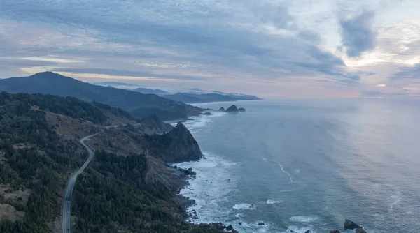
Stock image Highway 101 in Southern Oregon, drone aerial view.
Published: Dec.30, 2022 20:23:06
Author: mdurson
Views: 4
Downloads: 1
File type: image / jpg
File size: 7.72 MB
Orginal size: 5470 x 3050 px
Available sizes:
Level: beginner