Home
Images
Vectors
Videos
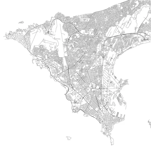
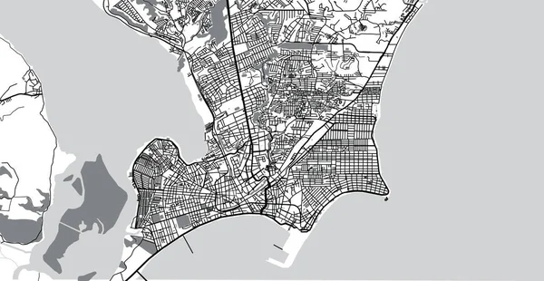
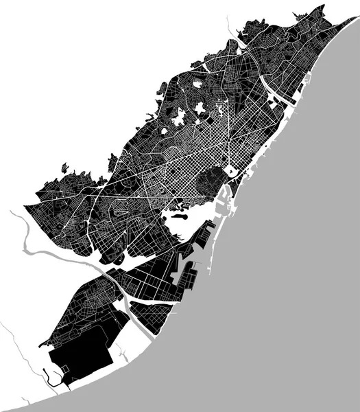
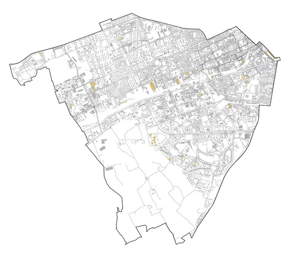
Stock image historical map of the city center of Barcelona, Spain
Published:
Apr.17, 2017 10:49:03
Author:
tish11
Views:
109
Downloads:
1
File type:
image
/
jpg
File size:
3.22 MB
Orginal size:
4442
x
4958
px
Available sizes:
S
(448 x 500)
M
(896 x 1000)
L
(1792 x 2000)
XL
(4442 x 4958)
EL0
(4442 x 4958)
Level:
bronze
Download Image
Image topics:
White
Background
Graphic
Park
Sea
Road
River
Center
City
Downtown
Urban
Monochrome
Scale
Simple
Drawing
Street
Tourism
Grid
Highway
Town
North
Europe
Draft
Navigation
Country
District
Map
Plan
Land
Spain
Topography
Location
Place
Barcelona
Geographical
Catalonia
Rambla
Guel
Planing
Urbanism
1859
Cerda
Historical Map
Similar stock images
Black And White Vector City Map Of Barcelona With Well Organized Separated Layers.
5679 × 4488
Satellite Map Of Aden, It Is A Port City Of Yemen, Located By The Eastern Approach To The Red Sea, Aden's Natural Harbour Lies In The Crater Of A Dormant Volcano. Map Of Streets And Buildings Of The Town Center
5364 × 5398
Map Of Dakar, Satellite View, Black And White Map. Street Directory And City Map. Senegal
10659 × 10659
Streets Of Rabat, City Map, Capital, Morocco, Satellite View. Street
6659 × 4992
Urban Vector City Map Of Maceio, Brazil
6000 × 3110
Map Of The City Center Of Barcelona, Spain
4342 × 4958
Satellite Map Of Milan, Streets And Building Of Area Number 6, Municipalities Number Six. Lombardy. Italy
7091 × 6110