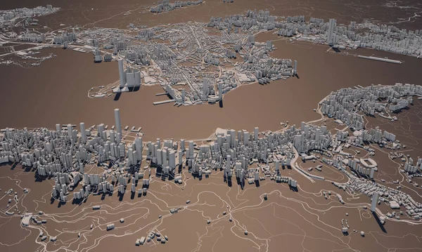
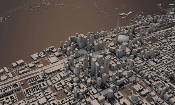
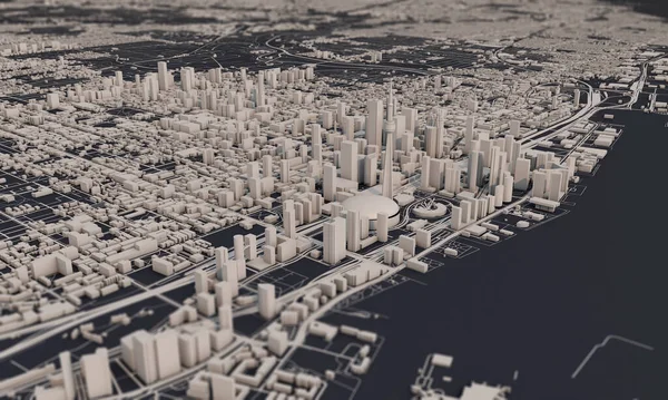
Stock image Hong Kong city map 3D Rendering. Aerial satellite view.

Published: Apr.07, 2020 10:06:11
Author: InkDropCreative
Views: 5
Downloads: 0
File type: image / jpg
File size: 11.69 MB
Orginal size: 5000 x 3000 px
Available sizes:
Level: silver
Similar stock images

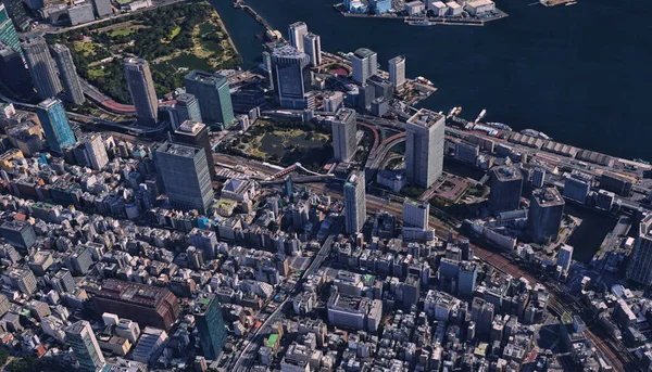
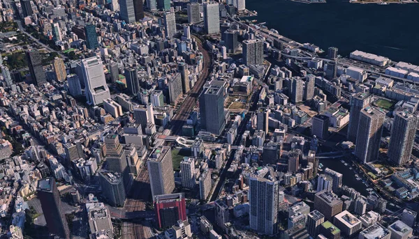
Japan, The Coast Of The Capital Tokyo, Infrastructure, Residential Buildings, Bridges, Attractions And Bays
3141 × 1800