
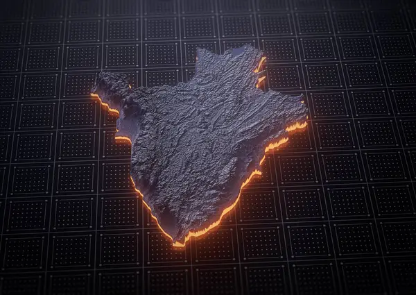
Stock image Illuminated Burundi Data Map Highlighting Geographical Features Neon Glow Light 3D Illustration
Published: Jul.10, 2024 13:42:45
Author: hammadkhn
Views: 0
Downloads: 0
File type: image / jpg
File size: 3.39 MB
Orginal size: 3100 x 2200 px
Available sizes:
Level: beginner
Similar stock images

Illuminated Bosnia Data Map Highlighting Geographical Features Neon Glow Light 3D Illustration
3100 × 2200

Illuminated Belize Data Map Highlighting Geographical Features Neon Glow Light 3D Illustration
3100 × 2200

Illuminated Barbados Data Map Highlighting Geographical Features Neon Glow Light 3D Illustration
3100 × 2200

Angola Map Monochromatic Shaded Relief Textured Map With Orange Neon Border 3D Illustration
3400 × 2400

Illuminated Barbados Data Map Highlighting Geographical Features Neon Glow Light 3D Illustration
3100 × 2200

Illuminated Azerbaijan Data Map Highlighting Geographical Features Neon Glow Light 3D Illustration
3100 × 2200

