Home
Images
Vectors
Videos
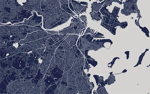
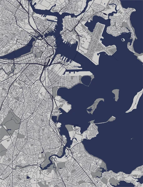
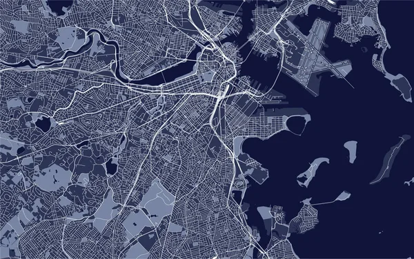
Stock image illustration map of the city of Boston, USA
Published:
Oct.03, 2018 09:21:21
Author:
tish11
Views:
22
Downloads:
3
File type:
image
/
jpg
File size:
10.77 MB
Orginal size:
6931
x
4346
px
Available sizes:
S
(500 x 314)
M
(1000 x 627)
L
(2000 x 1254)
XL
(6931 x 4346)
EL0
(6931 x 4346)
Level:
bronze
Download Image
Image topics:
Graphic
Illustration
Road
City
Downtown
Urban
Scale
Street
American
Usa
Beach
Coast
Ocean
Grid
Highway
Town
Map
Cartography
Geography
Plan
Area
Topography
Location
America
Scheme
Administrative
United
Region
Atlas
Boston
Massachusetts
Geographical
2020
2018
Planing
Urbanism
Chelsea
Cambridge
Quincy
Logan
2019
Everett
Malden
Winthrop
Somerville
Brookline
Medford
Similar stock images
Vector Map Of The City Of Boston, USA
6931 × 4346
Map Of The City Of Boston, USA
6931 × 4346
Vector Map Of The City Of Boston, USA
6931 × 4346
Vector Map Of The City Of Boston, USA
3757 × 4912
Vector Map Of The City Of San Francisco, USA
5289 × 4918
Vector Map Of The City Of Plymouth, Devon, South West England, England, UK
4710 × 4168
City Map Boston, Monochrome Detailed Plan, Vector Illustration
4219 × 5906
Map Of The City Of Helsinki, Finland
6194 × 4862