Home
Images
Vectors
Videos
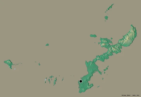
Stock image illustration of map, color image
Published:
Feb.19, 2024 15:54:17
Author:
Paylessimages
Views:
0
Downloads:
0
File type:
image
/
jpg
File size:
1.88 MB
Orginal size:
5500
x
3800
px
Available sizes:
S
(500 x 345)
M
(1000 x 691)
L
(2000 x 1382)
XL
(5500 x 3800)
EL0
(5500 x 3800)
Level:
bronze
Download Image
Image topics:
Color
Background
Colorful
Graphic
Illustration
Design
Isolated
Travel
Colourful
Symbol
City
Contour
Material
Tourism
Outline
District
Map
Cartography
Geography
National
Countries
Borders
Region
Similar stock images
Vanuatu Map Detailed, Classic Maps Design, Blank
4367 × 4000
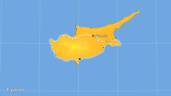
Hawaii Outlined On The Administrative Orthographic Map. Capital, Administrative Borders And Graticule
3840 × 2160
Fiji Map With Gray Tone On White Background,illustration,textured , Symbols Of Fiji,for Advertising ,promote, TV Commercial, Ads, Web Design, Magazine, News Paper, Report,
3840 × 2160
Shape Of Okinawa, Prefecture Of Japan, With Its Capital Isolated On A Solid Color Background. Topographic Relief Map. 3D Rendering
3836 × 2641
Sulawesi Tengah, Province Of Indonesia. Open Street Map
3840 × 2880
South Aegean, Decentralized Administration Of Greece. Solid Color Shape
3840 × 2880
Cyprus Area On The Annual Temperature Map In The Stereographic Projection - Main Composition
2880 × 1620
Crete, Decentralized Administration Of Greece. Open Street Map
3840 × 2880